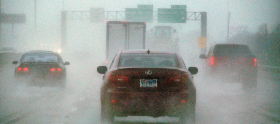
Wet Weekend Expected (Jan 2-4)

The colder air mass that has dominated our region this week will temporarily retreat, allowing a low pressure system to cut into the eastern Great Lakes region. Precipitation could start wintry on Saturday for areas away from the ocean, especially higher elevations. All areas should eventually change to all rain that lasts into Sunday. We then look to a clipper system that could bring snow on Tuesday followed by an even colder Arctic air mass invasion later next week. Let’s look at each day of the weekend first:
Friday high temperatures should range from the upper-30s (NWNJ) to lower 40s (SENJ). Skies should be a mixed bag of sun and clouds with stiff W/NW winds. Overnight lows should then drop into the 20s statewide.
Saturday should range from the mid-30s in NWNJ and mid-40s in SENJ for high temperatures. Precipitation could start statewide as early as morning but definitely by evening. Wintry precipitation is possible in areas where cold air is trapped (cold air damming). This is more common in valleys that run up against the base of the Appalachian Mountains. This is more of a concern in NNJ than SNJ. All frozen precipitation types (snow, sleet, and freezing rain) are possible at the initial onset of precipitation. Eventually everyone changes to rain but not until the upper warmer layers of the atmosphere override the lower colder levels. Rain should continue to fall into Saturday night with light SE winds and temperatures dropping into the 30s and 40s.
Sunday should start wet but eventually dry out by afternoon/evening—if the system is faster, possibly by late morning. Regardless, temperatures will be very mild as New Jersey sits in the warm sector of the low pressure disturbance. Expect stiff winds out of the SW. Overnight lows should then drop into the 30s statewide.
I’ll be monitoring two events for this coming week. First is a clipper system that could bring snow to the coverage area on Tuesday. Second is another Arctic air mass invasion after the clipper that should make for a colder week than the one we just had. I’ll have an article outlining the details of both posted tomorrow evening.
This weekend outlook is proudly sponsored by weathertrends360 (www.weathertrends360.com). Through 150 years of world wide weather data analysis, weathertrends360 has developed proprietary algorithms and methods that predict weather up to a year with 84% accuracy. They are second to none in the long range so check them out for business planning, travel planning, etc.
Be safe and have a great weekend! JC
Jonathan Carr (JC) is the founder and sole operator of Weather NJ, New Jersey’s largest independent weather reporting agency. Since 2010, Jonathan has provided weather safety discussion and forecasting services for New Jersey and surrounding areas through the web and social media. Originally branded as Severe NJ Weather (before 2014), Weather NJ is proud to bring you accurate and responsible forecast discussion ahead of high-stakes weather scenarios that impact this great garden state of ours. All Weather. All New Jersey.™ Be safe! JC


