Wet and Cold Week Expected (Dec 8-12)

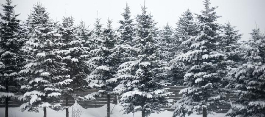
The coastal storm system will dominate this week’s weather pattern. It will be a long-duration event consisting of heavy wind-driven rain changing to snow that could last into Thursday. Friday might be the first precipitation-free day of the week. Let’s break it down:
Monday high temperatures will range from the mid-30s (NWNJ) to lower-40s (SENJ) as the coastal storm starts it’s approach. Expect mostly cloudy skies and 10-15mph E winds (gusts to 25mph along the coast). Overnight lows will then drop to upper-20s (NWNJ) and mid-30s (SENJ) as the storm delivers round 1 of precipitation.
Tuesday high temperatures will range from upper-30s (NWNJ) to upper-40s (SENJ) with heavy wind-driven rain. Winds should sustain at 10-20mph with gusts to 40mph along the coast. Watch out for coastal flooding as rain will have a hard time draining, especially during high tide. Overnight lows should drop into the low-to-mid 30s statewide. If there’s going to be a period of cold over-performing snow, it will be Tuesday evening as temperatures crash. Strong winds will switch to the north and rain will change to snow from NW to SE. Many parts of NJ will see snow showers. NWNJ has best chance of accumulations. SENJ has the worst.
Wednesday high temperatures should reach the upper 30s/lower 40s as variable-type precipitation lingers due to a stalled/retrograded low pressure center. Expect mostly cloudy skies with stiff N/NW winds (gusts to 30mph). Overnight lows then drop just below freezing for the entire state.
Thursday should reach the upper-30s (NWNJ) and lower 40s (SENJ) for high temperatures. Winds will be stiff out of the W at 10-15mph with gusts to 20mph. Skies should finally clear and possibly give way to a mixed bag of sun and clouds before overnight lows fall into the 20s (NWNJ) and lower-30s (SENJ).
Friday should feature sun and clouds as highs top out in the upper 30s (NWNJ) and lower 40s (SENJ). Winds will be back to the NW at 10-15mph with gusts to 20mph. Overnight lows then return to just below freezing statewide. An early look at the weekend says cold, dry, and sunny.
This Monday-Friday Outlook is proudly sponsored by weathertrends360 (www.weathertrends360.com). Through 150 years of world wide weather data analysis, weathertrends360 has developed proprietary algorithms and methods that predict weather up to a year with 84% accuracy. They are second to none in the long range so check them out for business planning, travel planning, etc.
Be safe and have a great week! JC
Jonathan Carr (JC) is the founder and sole operator of Weather NJ, New Jersey’s largest independent weather reporting agency. Since 2010, Jonathan has provided weather safety discussion and forecasting services for New Jersey and surrounding areas through the web and social media. Originally branded as Severe NJ Weather (before 2014), Weather NJ is proud to bring you accurate and responsible forecast discussion ahead of high-stakes weather scenarios that impact this great garden state of ours. All Weather. All New Jersey.™ Be safe! JC


