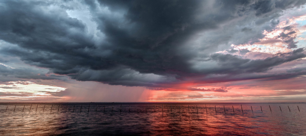
Between the remnants of Bonnie and several frontal passages, this weekend looks unsettled.
Today we’re seeing onshore flow with temperatures expected to reach into the 70s along the coast and 80s away from the ocean. With scattered clouds it should actually feel pleasant despite some humidity. Tonight we’ll dip into the 60s as more cloud cover, fog (moreso along the coast) are possible overnight.
Friday (June 3) high temperatures should reach into the 70s statewide. Skies should be partly-to-mostly cloudy. The jury is still out on morning showers but with onshore flow from Bonnie remnants and the approaching cold front, scattered showers are certainly possible. More rain and possibly some isolated thunderstorms are then possible through the afternoon. Skies should clear from NW to SE with the cold front. With that said, points NW could see improving conditions earlier in the day while points SE would be last to see the rain clear. With any luck, it’s through by late-afternoon with a nice night on tap. Winds should be light-to-breezy out of the E/SE. Overnight lows should fall into the 60s statewide.
Saturday (June 4) high temperatures should reach the mid-t0-upper 70s for most. 80 is possible away from the ocean. Skies should feature a mixed bag of sun and clouds. Let’s allow just a small chance for isolated sprinkles while most should luck out. Saturday is by far the best looking day of the weekend. Winds should be light out of the S/SE. Overnight lows should fall into the 60s statewide.
Sunday (June 5) high temperatures should reach the upper-70s/lower-80s statewide. Morning rain showers with isolated embedded thunderstorms are possible along a warm frontal passage from S to N. That warm front should push through by noon and allow a small window of clearing before the cold front approaches from the west. Moderate-to-heavy rain and thunderstorms of severe nature are then possible ahead/along that cold front through the afternoon and possibly into the evening. The exact timing window of the clearing and later-day thunderstorm approach still somewhat up in the air. I will likely have to play that by ear as we further approach on short-range model guidance. I’ll have an update out tomorrow with a slightly better handle on timing. Winds should be stiff out of the S (felt moreso along the coast) before the cold front and then breezy out of the W/NW after the cold frontal passage. Overnight lows should fall into the 60s statewide as rain showers could linger into the Monday AM rush hour.
An early look at next week indicates highs in the 70s/low-80s with generally dry conditions. The caveat of isolated shower and thunderstorm chances is generally in play on any given day this time of year. Have a great weekend and please be safe! JC
Jonathan Carr (JC) is the founder and sole operator of Weather NJ, New Jersey’s largest independent weather reporting agency. Since 2010, Jonathan has provided weather safety discussion and forecasting services for New Jersey and surrounding areas through the web and social media. Originally branded as Severe NJ Weather (before 2014), Weather NJ is proud to bring you accurate and responsible forecast discussion ahead of high-stakes weather scenarios that impact this great garden state of ours. All Weather. All New Jersey.™ Be safe! JC
