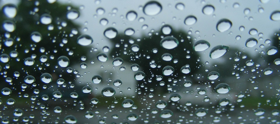
Rain and stormy conditions are expected this week. Let’s break it down…
Discussion: While everyone is focused on Irma and the upper-level trough that will ultimately dictate the fate of her track later this weekend, the front side of this trough will bring a frontal boundary through New Jersey from NW to SE between the Tuesday PM and Thursday AM window. Thunderstorms, some severe, could be embedded within the expected frontal precipitation. Again, that rainy/stormy period should be between Tuesday evening and Thursday morning. We’re likely looking at .75 to 1.5 inches of rainfall throughout the entire period in and on-and-off nature. Most of tomorrow (Tuesday) during the day looks okay…a warm end of summer feel ahead of the approaching frontal action tomorrow night. Thursday night into most of the weekend then looks very pleasant with clear skies and lower humidity. I’m still tracking Irma very closely and will provide the next update on her at 8AM tomorrow morning (Tuesday morning). This will allow me to review all the overnight guidance and live observational data.
Tuesday (Sept 5) high temperatures should reach the low-to-mid 80s statewide with noticeable but not unbearable humidity. Skies should start mostly sunny but increase in cloud coverage heading into overnight hours. I wouldn’t be surprised to see rainfall and/or some thunderstorms by midnight, especially for NWNJ. Winds should be light out of the S/SW. Overnight lows should fall into the 60s for most. Coastal regions might hang around 70. On-and-off rainfall could persist through overnight hours.
Wednesday (Sept 6) high temperatures should reach the upper-60s/lower-70s statewide. Skies should be mostly cloudy with periods of rainfall likely. Again, thunderstorms could embed within the rainfall but such instances should be isolated rather than widespread. Winds should be light out of the N/NW. Overnight lows should fall into the 50s statewide.
Thursday (Sept 7) high temperatures should reach the low-to-mid 70s statewide. Skies should start mostly cloudy with tapering rainfall and transition to partly sunny skies by sunset. Winds should be light out of the W. Overnight lows should fall into the 50s statewide and possibly the 40s for NNJ.
Friday (Sept 8) high temperatures should reach the upper-60s for NNJ elevations but likely the low-to-mid 70s for the rest of New Jersey. Skies should be mostly sunny with a pleasant feel. Winds should remain light out of the W. Overnight lows should fall into the 50s for most with NNJ likely dipping into the 40s.
An early look at the weekend indicates rather nice conditions (like Friday) lasting through all of Saturday and some of Sunday. Beyond Sunday afternoon is extremely uncertain as I continue to track Irma. The next Irma update will come at 8AM tomorrow morning after reviewing all overnight guidance. Have a great rest of your week and please be safe! JC
Jonathan Carr (JC) is the founder and sole operator of Weather NJ, New Jersey’s largest independent weather reporting agency. Since 2010, Jonathan has provided weather safety discussion and forecasting services for New Jersey and surrounding areas through the web and social media. Originally branded as Severe NJ Weather (before 2014), Weather NJ is proud to bring you accurate and responsible forecast discussion ahead of high-stakes weather scenarios that impact this great garden state of ours. All Weather. All New Jersey.™ Be safe! JC
