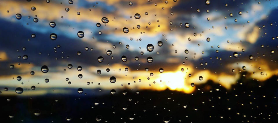
Unsettled Conditions Expected (June 22-24)

Discussion: A low pressure system will slowly track from W to E just S of the Great Lakes between now and Sunday morning. After a cooler Friday, this should bring a warm front through NJ from S to N on Saturday with temperatures and humidity building even stronger for Sunday. Below-average expected 500mb height anomalies tell me that unsettled conditions are likely, especially with the strong peak angle sun warming the surface under the cooler upper-levels. The entire weekend looks somewhat unsettled but as of now it looks far from a washout. There will be some parts hit with rain and storms and other parts (possibly many other parts) asking what happened to the rain and storms. It’s mostly hit-or-miss stuff. Overall Friday and Saturday look cooler compared to recent warmer/hotter conditions and what’s expected next week (starting this Sunday).
Friday (June 22) high temperatures should reach the low-to-mid 70s. Skies should be partly-to-mostly cloudy with a few rain showers possible, especially during PM hours. Winds should be light out of the E/NE. Overnight lows should range from upper-50s to upper-60s NNJ to SNJ.
Saturday (June 23) high temperatures should reach the mid-to-upper 70s for most. Skies should be mixed with AM rain possible followed by a few sunny breaks during the day. More rain, possibly with embedded thunderstorms, is possible during PM hours but far from guaranteed. It’s possible that many outdoor activities end up ok during core daytime hours. My advice is to play the radar. Winds should be light out of the S/SE. Overnight lows should fall into the 60s statewide.
Sunday (June 24) high temperatures should reach into the 80s for most. Interior CNJ/SNJ could take a run at 90 while the immediate coast likely hangs in the lower-80s. Skies should be partly sunny with a humid feel. AM hours appear drier than PM hours with more isolated/scattered showers and thunderstorms possible.
An early look at next week indicates temperatures well into the 80s. I imagine a some spots will hit 90, especially towards the end of the week. Humidity should noticeably persist with the chance of pop-up thunderstorms on any given day. Pretty run-of-mill for slightly-unsettled NJ summer conditions. Let’s take a closer look on Sunday. For now, everyone have a slamming weekend and please be safe! JC
Who’s coming to our dinner music party for cancer assistance this year?
Jonathan Carr (JC) is the founder and sole operator of Weather NJ, New Jersey’s largest independent weather reporting agency. Since 2010, Jonathan has provided weather safety discussion and forecasting services for New Jersey and surrounding areas through the web and social media. Originally branded as Severe NJ Weather (before 2014), Weather NJ is proud to bring you accurate and responsible forecast discussion ahead of high-stakes weather scenarios that impact this great garden state of ours. All Weather. All New Jersey.™ Be safe! JC


