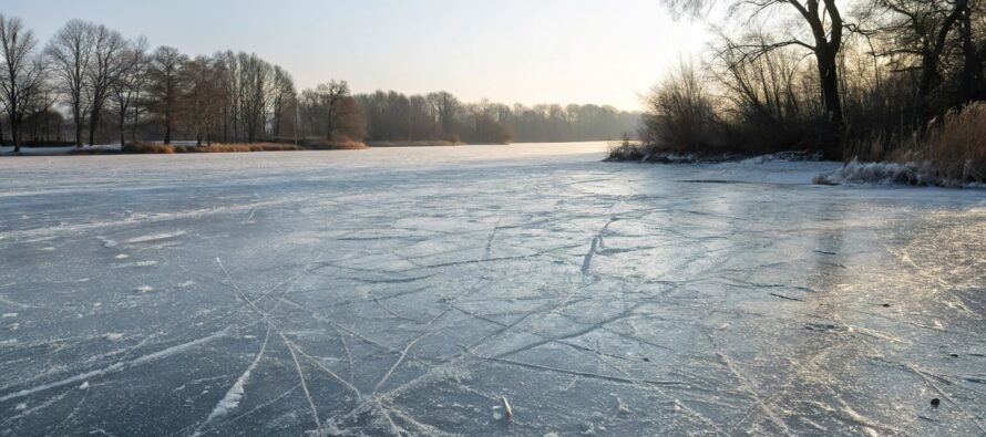
Temps Moderate but Still Cold

Discussion: I know everyone is hungry for snow. The next signal is Feb 1-2 and as of now it looks rainy, maybe icy NW of 95. Just have to punt for the next week or so and consider that these historically cold winters tend to reload the colder pattern air masses a few times. So far this snow season, we saw one in late-November just before Thanksgiving, another right before Christmas and the current one is coming to an end by Sunday. It would be surprising if this was the last cold shot of the season. I’m watching Feb 1-2 in case it becomes more of a wintry kick-off to another snow pattern, rather than a snow/ice to rain event, but I’m ultimately looking to February 5-forward for the next realistic shot of a snowstorm. Hopefully the next cold shot is weaker than this one was so it doesn’t suppress snowstorms as far S as Florida.
For the meantime, we gradually moderate over the weekend. 30s today felt nice yesterday and today but nights are still cold. Sunday-Wednesday should be in the 40s and feel relatively warm in the sun after recent temps. Nights should still drop below freezing though. There will be some clippers around all next week. 2 maybe 3 mostly missing just to the N of NJ or getting eaten up by the Appalachian Mountains. But if any of them come in more robust after dusk-before dawn then the theme of light snow accums here and there could live on. NWNJ/WNJ would have the best chance for such. SENJ would have the least chance. Thursday we then return to average late-January temperatures (which aren’t warm – highs in mid-30s lows in upper teens) heading into the storm signal weekend. There are no torch patterns here outside of the acute warmer surge that might accompany the Feb 1-2 synoptic signal. And that would probably cap out in the mid-to-upper 40s before returning colder right after. More argument IMO why I think the cold patterns should continue their rhythmic reloading through February.
NNJ put on a hitting display in warm-ups (Nov 20) and then scored a few runs in the 4th inning (this past Sunday). SNJ scored a few runs in the 2nd inning (Jan 6). All of NJ has a few base hits (C-1″ events) here and there. No home runs or grand slams yet though. The 5th inning (now into the Feb 1-2 signal) looks scoreless. In February we’ll start the 6th inning with still no reason to leave the stadium early (to give up on winter) IMO.
Forecast
Friday (Jan 24) high temperatures made it into the low-to-mid 30s for most NJ locations. Skies have been and will remain clear for the rest of today/tonight. Winds are light out of the W. Overnight lows should range from 10 to 20 from NNJ elevations to SNJ coasts.
Saturday (Jan 25) high temperatures should reach the low-to-mid 30s for most NJ locations. Skies should be mostly sunny. Winds should be light out of the W/SW. Overnight lows should range from 20 to 30 from NNJ elevations to SNJ coasts as some clouds move in.
Sunday (Jan 26) high temperatures should range from upper-30s to mid-40s from NNJ elevations to SNJ coasts. Skies should be mixed with sun and clouds, gradually clearing more throughout the day. Winds should be light-to-breezy out of the W. Overnight lows should range from mid-teens to mid-20s from NNJ elevations to SNJ coasts.
An early look at next week (Jan 27-31) indicates the milder conditions (highs in the 40s) lasting through about Wednesday. Nights will still be cold however, dropping below freezing. Some light snow/flurries could be around if any of the clippers can make it over the Appalachian Mountains but accumulations would be trace/light at best. Thursday into next weekend then looks cold as we return to a colder air mass but not as cold as of late. We then warm up a little for a potential ice/rain event around Feb 1-2. I will be watching that signal in case it trends wintrier. Everyone have a great weekend and please be safe! JC
Premium Services
KABOOM Club offers ad-free content, inside info forecast discussion, your questions answered, and early storm impact maps and video releases (ahead of the public). At two bucks per month, it’s an extremely feasible way to show additional support for Weather NJ. Think of it as a tip jar with perks. Available onFacebook or Patreon.
My Pocket Meteorologist (MPM), in partnership with EPAWA Weather Consulting, offers professional/commercial interests, whose businesses depend on outdoor weather conditions (snow plowing, landscaping, construction, etc.), with hyper-local text message alerts/forecasts and access to the MPM premium forum—the most comprehensive and technical forecast discussion available for PA and NJ.
Jonathan Carr (JC) is the founder and sole operator of Weather NJ, New Jersey’s largest independent weather reporting agency. Since 2010, Jonathan has provided weather safety discussion and forecasting services for New Jersey and surrounding areas through the web and social media. Originally branded as Severe NJ Weather (before 2014), Weather NJ is proud to bring you accurate and responsible forecast discussion ahead of high-stakes weather scenarios that impact this great garden state of ours. All Weather. All New Jersey.™ Be safe! JC


