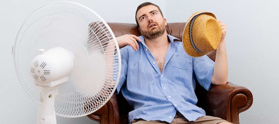
Discussion: The above image has been repetitively used recently and with good reason. Many are complaining that it’s too hot for this late in the year. We’ve had some transient cold snaps but nothing lasting. Well…the pattern is about to change. First a broad ridge will dominate the upper-level pattern this week. Monday should be more like today (Sunday) but by Tuesday afternoon we should notice increases in temperature and humidity. Wednesday looks like the peak of the heat and humidity with Thursday being the last of it. The period between Wednesday PM and Friday AM looks the most unsettled especially for the northern half of NJ (closer to the boundary). Any rainfall should be welcomed to avoid the trending-drought (we’re just abnormally dry as of right now). It should then ultimately be a quick-moving rainy disturbance between Thursday PM and Friday AM that precedes the northerly cold air advection. This weekend should feature the coldest air we’ve felt yet since temperatures started declining out of summer. Basically summer takes its last breath this Tuesday-Thursday and then sustained fall temperatures from Friday (Oct 4)-forward. No tropical threats exist for NJ at this time or in the near-future. The roller coaster of hot and humid to cold and dry over the next 7 days should have the headlines.
Monday (Sept 30) high temperatures should reach the low-to-mid 70s for most areas. Skies should be mixed with sun and clouds with s comfortable feel. Winds should be light out of the E. Overnight lows should drop into the mid-to-upper 50s as winds change to the S.
Tuesday (Oct 1) high temperatures should reach near-80 for most areas. Skies could start with a few clouds around but should clear by afternoon. Humidity should gradually increase throughout the day. Winds should be light out of the SW. Overnight lows should hang in the 60s statewide.
Wednesday (Oct 2) high temperatures should reach well into the 80s for all areas. Interior CNJ/SNJ (away from the ocean) have the best chance to reach/break 90. Skies should be mixed. A slight chance of rain showers, even a few boomers, exists especially towards PM hours. Winds should be light out of the W/SW. Overnight lows should fall to upper-40s/lower-50s for NNJ elevations. The rest of the state (lower-2/3) should fall somewhere in the 60s.
Thursday (Oct 3) high temperatures should range from near-60 to near-80 NNJ to SNJ…quite the difference. Skies should be mixed with sun, clouds and possibly a few isolated showers. NNJ has the best chance to see heavier rain overnight into Friday morning.
Friday (Oct 4) high temperatures should reach the upper-60s/lower-70s before falling steadily through afternoon/evening hours. </summer>. Skies should be mixed with sun and “oh yeah this is fall now” clouds. Winds should be light-to-breezy out of the N. Overnight lows should fall into the 30s and 40s for most areas. NNJ elevations and SNJ Pine Barrens could see below-freezing temperatures by early Saturday AM.
An early look at the weekend indicates colder conditions sticking around. We’re talking afternoon high temperatures struggling to escape the 60s with overnight lows in the 30s/40s. Warm up the cider and make the soup. Everyone have a great week and please be safe! JC
Download the new free Weather NJ mobile app on Apple and/or Android. It’s the easiest way to never miss Weather NJ content. Our premium services go even further above and beyond at the hyperlocal level. Looking for industrial-caliber long-range forecasting data that I personally recommend? Check out WeatherTrends360!
Jonathan Carr (JC) is the founder and sole operator of Weather NJ, New Jersey’s largest independent weather reporting agency. Since 2010, Jonathan has provided weather safety discussion and forecasting services for New Jersey and surrounding areas through the web and social media. Originally branded as Severe NJ Weather (before 2014), Weather NJ is proud to bring you accurate and responsible forecast discussion ahead of high-stakes weather scenarios that impact this great garden state of ours. All Weather. All New Jersey.™ Be safe! JC
