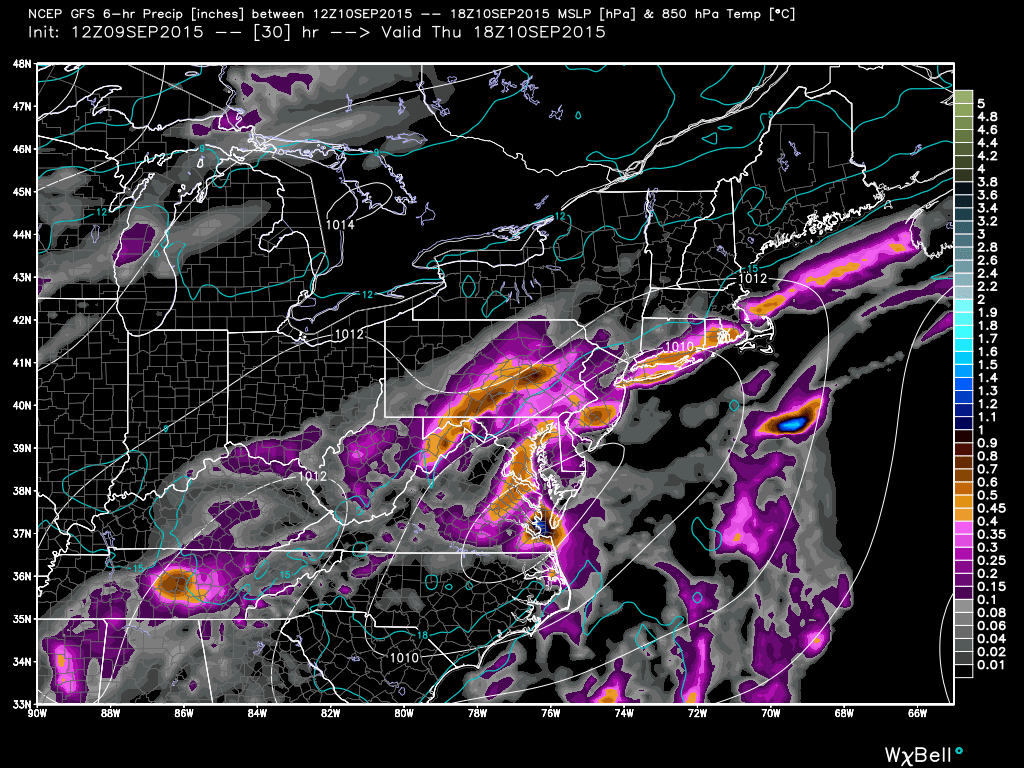
A series of low pressure disturbances will bring widespread rainfall to New Jersey starting later this evening/overnight and lasting through this weekend. Today is more of a hit-or-miss rainfall opportunity and mostly for NWNJ. Tomorrow, rainfall is expected throughout the entire state. Friday looks like a lull in precipitation but Saturday should feature more widespread rainfall in association with another low pressure disturbance. Sunday, like Friday looks like a lull in widespread precipitation but could still feature cloudy skies and isolated showers. Here’s the predicted rainfall totals over the next 5 days, via the NOAA Weather Prediction Center:
While this will be much needed rainfall, it will not eliminate the drought in its entirety. It should be a step in the right direction however, as we further approach the rainier fall season with a developing El Nino. I’ll have the full weekend outlook posted tomorrow which will break the days down better re: precipitation periods. For now… Widespread rainfall tomorrow and Saturday. Isolated-to-scattered showers on Friday and Sunday. Be safe! JC
Model image used with permission from WeatherBell Analytics.
Jonathan Carr (JC) is the founder and sole operator of Weather NJ, New Jersey’s largest independent weather reporting agency. Since 2010, Jonathan has provided weather safety discussion and forecasting services for New Jersey and surrounding areas through the web and social media. Originally branded as Severe NJ Weather (before 2014), Weather NJ is proud to bring you accurate and responsible forecast discussion ahead of high-stakes weather scenarios that impact this great garden state of ours. All Weather. All New Jersey.™ Be safe! JC
