Sept 30: Cold Air Invasion Detected!

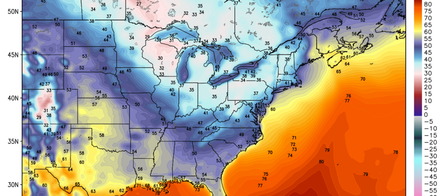
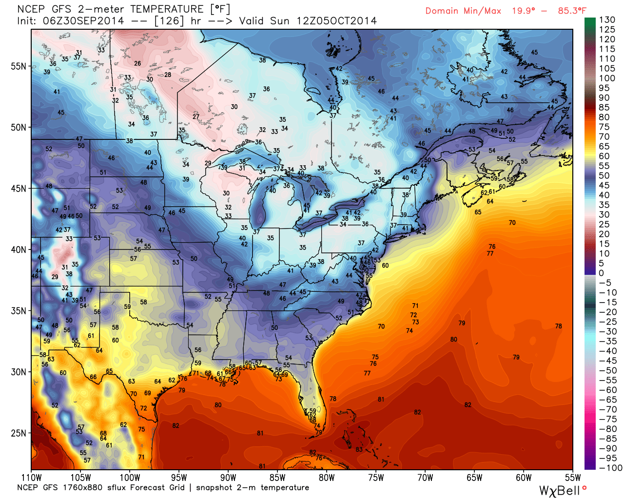
A cold front will be moving through New Jersey between Friday and Saturday. On the other side of that front exists a cold air invasion—true fall weather. As far as rain ahead of the front goes, Friday and Saturday morning could be looking at showers and maybe even a few isolated t-storms (not likely but possible – moreso in NWNJ). These are the expected temperatures for Sunday morning at 8AM according to the latest GFS model:
An upper-level low pressure system will be moving through the Great Lakes and into the E. Canada region which will drag the cold front to its south through the east coast. Rain intensity Friday night into Saturday should be pretty “run of the mill” for this time of year. Should enough convection exist to produce a few rumbles, it is unlikely that any thunderstorms will reach severe status. Breezy/gusty rain is most likely.
The real question is timing…when will the rain clear out? Model guidance is currently split so I’ll be keeping a close eye on that as we get closer to the weekend. A current average of model guidance timing (and my gut instinct) says Saturday morning could start out wet but clear by afternoon, if not by noon. This would still salvage most of Saturday outdoors as crisp fall weather dominates the region. At this point, there is still uncertainty which means more of Saturday could be rainy. Again, will be watching! Sunday looks like a 10 if judged by “fall weather criteria.” The main story this weekend, once the rain clears, will be temperatures. Highs in the 60s and lows in the 40s which should continue well into next week! Be safe! JC
Jonathan Carr (JC) is the founder and sole operator of Weather NJ, New Jersey’s largest independent weather reporting agency. Since 2010, Jonathan has provided weather safety discussion and forecasting services for New Jersey and surrounding areas through the web and social media. Originally branded as Severe NJ Weather (before 2014), Weather NJ is proud to bring you accurate and responsible forecast discussion ahead of high-stakes weather scenarios that impact this great garden state of ours. All Weather. All New Jersey.™ Be safe! JC


