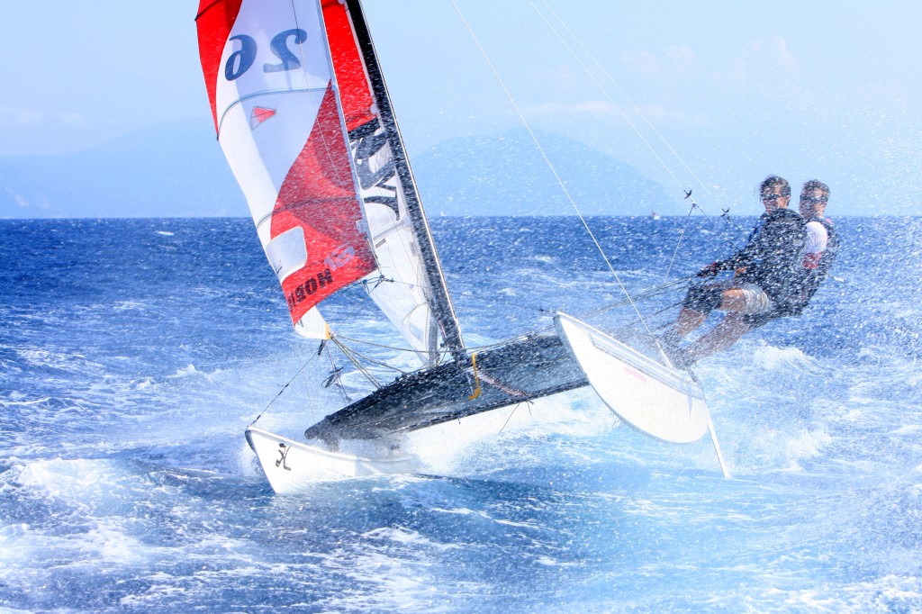
High pressure is now in full control of the region and will make for a gorgeous Tuesday of racing. Expect mostly sunny skies over the Delaware Bay with highs in the upper 60s. Wind direction should be out of the N/NW through early afternoon before switching to the N. Wind speed should be 10-15 knots in the morning but should subside to 3-5 knots by afternoon. Occasional gusts could still reach 10-15 knots through the afternoon. Swell should be 1-2 feet throughout the entire day. Here are the expected race time hourly conditions.
Delaware Bay Expected Hourly Conditions
| Time | Temperature | Wind Direction | Wind Speed | Swell | Skies |
| 11AM EDT | 63 | N/NW | 5-10 knots (G 15 knots) | 1-2 feet | Mostly Sunny |
| 12PM EDT | 64 | N/NW | 5-10 knots (G 15 knots) | 1-2 feet | Mostly Sunny |
| 1PM EDT | 64 | N/NW | 5-10 knots (G 15 knots) | 1-2 feet | Mostly Sunny |
| 2PM EDT | 65 | N/NW | 5-10 knots (G 15 knots) | 1-2 feet | Mostly Sunny |
| 3PM EDT | 66 | N/NW | 5-10 knots (G 15 knots) | 1-2 feet | Mostly Sunny |
| 4PM EDT | 67 | N | 3-5 knots (G 10 knots) | 1-2 feet | Mostly Sunny |
| 5PM EDT | 67 | N | 3-5 knots (G 10 knots) | 1-2 feet | Mostly Sunny |
| 6PM EDT | 65 | N | 3-5 knots (G 10 knots) | 1-2 feet | Mostly Sunny |
Looking beyond Tuesday, Wednesday should be a carbon copy of tomorrow but with onshore flow setting up. Models are starting to indicate a coastal disturbance grazing the region on Thursday into Thursday night but there is still uncertainty. It would be gone by Friday morning. As one area of high pressure departs into the Atlantic to our north on Wednesday, the coastal low tucks in to the south of anti-cyclonic flow (over the Delaware Bay) before another area of high pressure boots it out to sea. This is not a given at this point but it’s something I’ll be watching carefully as we approach Thursday. It would mean 15-20 knot winds out of the NE with anything from drizzle to rain. Friday looks beautiful. Be safe and have a great second day of racing! JC
Jonathan Carr (JC) is the founder and sole operator of Weather NJ, New Jersey’s largest independent weather reporting agency. Since 2010, Jonathan has provided weather safety discussion and forecasting services for New Jersey and surrounding areas through the web and social media. Originally branded as Severe NJ Weather (before 2014), Weather NJ is proud to bring you accurate and responsible forecast discussion ahead of high-stakes weather scenarios that impact this great garden state of ours. All Weather. All New Jersey.™ Be safe! JC
