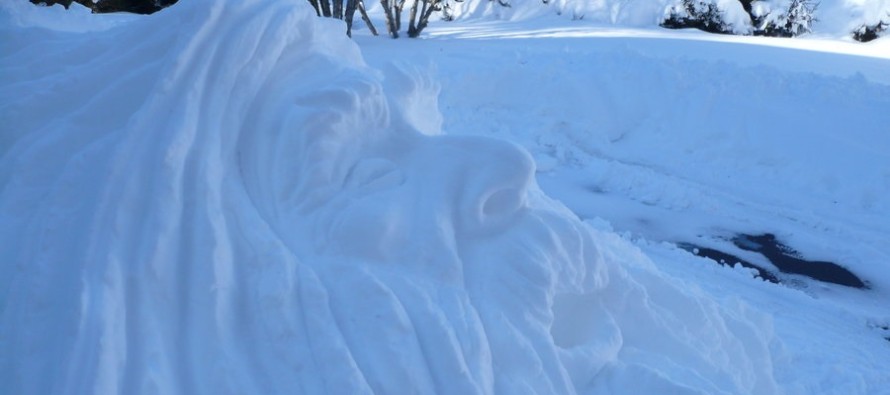
Old Man Winter Keeps His Grip (Feb 23-27)

Another week of colder-than-average temperatures is expected with some wintry precipitation possible in the Wednesday-Thursday period. Let’s take a look at each day:
Monday will top out in the upper teens (NWNJ) to 20s (SENJ) for high temperatures. Expect a mixed bag of sun and clouds with 10-15mph NW winds (gusts to 25mph). Overnight lows might drop to their lowest of the season with ~zero at the SENJ coast and negative-teens for interior/elevations.
Tuesday highs will range from upper-teens (NWNJ) to lower-20s (SENJ). Expect another mixed bag of sun and clouds but eventually winds should switch to a light S/SW flow. Overnight lows then drop into the teens statewide.
Wednesday will likely be the least cold day of the week with highs ranging from upper-20s to mid-30s (NWNJ to SENJ). I’m watching a disturbance that should pass to the S of NJ. The northern fringe of the precipitation shield might clip SENJ. We’ll have to watch this but as of now it looks like a late Wednesday-Thursday period. Otherwise winds will be 5-15mph out of the W with another sun/cloud mix. Overnight lows should drop into the single digits and teens.
Thursday should reach the lower 20s for highs statewide with mostly sunny skies. Again, I’ll be watching the passing disturbance to our south for any snow that makes it as far north as SNJ. Otherwise expect stiff NW winds once the frontal passage is through. Overnight lows should fall into the single digits statewide.
Friday should reach the mid-20s for highs with light northerly flow. Skies should be mostly sunny with a few scattered clouds here and there. Overnight lows then drop into the single digits again with below-zero temperatures possible for interior/elevations.
An early peek at the weekend indicates seasonably average temperatures for this time of year with mostly sunny and dry conditions.
This Monday-Friday Outlook is proudly sponsored by weathertrends360 (www.weathertrends360.com). Through 150 years of world wide weather data analysis, weathertrends360 has developed proprietary algorithms and methods that predict weather up to a year with 84% accuracy. They are second to none in the long range so check them out for business planning, travel planning, etc.
Be safe and have a great week! JC
Jonathan Carr (JC) is the founder and sole operator of Weather NJ, New Jersey’s largest independent weather reporting agency. Since 2010, Jonathan has provided weather safety discussion and forecasting services for New Jersey and surrounding areas through the web and social media. Originally branded as Severe NJ Weather (before 2014), Weather NJ is proud to bring you accurate and responsible forecast discussion ahead of high-stakes weather scenarios that impact this great garden state of ours. All Weather. All New Jersey.™ Be safe! JC


