Oct 29: Weekend Storm Update

Model guidance continues to suggest a strong low pressure disturbance forming off the coast of Delmarva/New Jersey this Saturday. Exact impacts for New Jersey will vary from coast to inland but strong northerly winds will be common throughout the entire state Saturday into Sunday. This disturbance will actually be the result of two smaller low pressure disturbances joining up—one from the north (Canada) and one from the south (ocean).
First, trick or treating hours should be dry on Friday so no worries there. There is now only a small possibility of rain showers late Friday night. Most of the storm impact will occur on Saturday only. Models have backed off a bit on the idea of this fall’s first snowflakes. There’s still a small possibility for interior and higher elevations but cold rain is the most likely scenario for early to mid Saturday. The main headline for New Jersey this weekend will be wind chills. Temperatures will be dropping and northerly winds will be increasing on the west side of the storm once both low pressure disturbances consolidate for an eastern New England hit. The winds will be highest Saturday night into Sunday as the low pulls away.
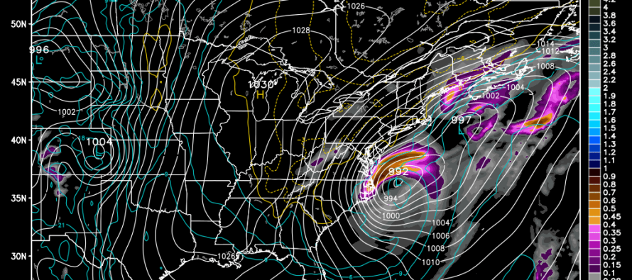
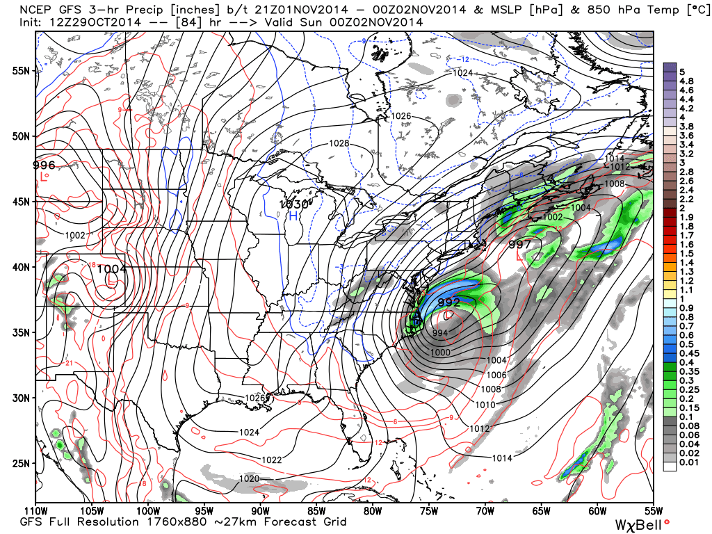
Here’s the GFS showing precipitation and pressure at 850mb between 2PM and 8PM on Saturday. As you can see the storm is well formed with tight isobars running through NJ. As the storm pulls further away, the isobars become more vertical which indicates very high winds out of the N/NE. The European model is currently a bit east of this. Tomorrow, the data will be better sampled which will give me a better handle on it.
In English: Expect a nice Halloween Friday for trick or treating. Expect cold rain and wind to pick up by Saturday morning. Rain should end Saturday afternoon followed by strong northerly winds Saturday night into Sunday. Wind chills will be noticeably felt give the temperature drop and anticipated wind speeds. Be safe! JC
Jonathan Carr (JC) is the founder and sole operator of Weather NJ, New Jersey’s largest independent weather reporting agency. Since 2010, Jonathan has provided weather safety discussion and forecasting services for New Jersey and surrounding areas through the web and social media. Originally branded as Severe NJ Weather (before 2014), Weather NJ is proud to bring you accurate and responsible forecast discussion ahead of high-stakes weather scenarios that impact this great garden state of ours. All Weather. All New Jersey.™ Be safe! JC


