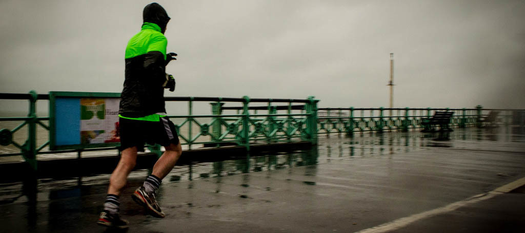
We’re on the hook for some cold rain tomorrow. Some extreme NNJ locations could even start with a wintry mix. Let’s break it down…
At 500mb, a shortwave approaching the Great Lakes region is well defined with a surface low in close southern proximity. This disturbance will move eastward and should cross over the state of New York before eventually moving out to sea over New England. This should bring an area of precipitation over our region from W/NW to E/SE between late Thursday morning and the early AM hours of Friday. This should be a cold rain for most of New Jersey throughout that time period however a wintry mix is possible at the onset of preciptation for the higher elevations of NWNJ. There’s a much better chance of this for NEPA and parts of NY state. It is worth mentioning as a small possibility said areas of NWNJ though.
In English: Expect a period of cold rain between Thursday AM and Friday AM with most falling Thursday afternoon-evening. NNJ elevations could start out with a wintry mix but little-to-no accumulations are anticipated due to a warmer surface profile. Expected total precipitation ranges from .25″ in SNJ to .75 in NNJ. For CNJ…let me check my math…about a half inch lol. Again all should clear by sunrise on Friday, if not earlier and closer to midnight tomorrow night. Winds could get a little breezy behind the rain Friday morning but should subside heading into Friday night. I’ll have a special event weekend forecast posted tonight and the regular statewide weekend outlook posted tomorrow. Be safe! JC
Jonathan Carr (JC) is the founder and sole operator of Weather NJ, New Jersey’s largest independent weather reporting agency. Since 2010, Jonathan has provided weather safety discussion and forecasting services for New Jersey and surrounding areas through the web and social media. Originally branded as Severe NJ Weather (before 2014), Weather NJ is proud to bring you accurate and responsible forecast discussion ahead of high-stakes weather scenarios that impact this great garden state of ours. All Weather. All New Jersey.™ Be safe! JC
