Nov 9: Rain Approaching

A disorganized area of low pressure will track up the east coast overnight and through tomorrow. This should bring a decent amount of precipitation and light onshore flow to New Jersey and surrounding areas. The northern edge of precipitation is already approaching from our S/SW so rain is possible anytime this evening through early Wednesday AM, with the majority of it falling tomorrow.
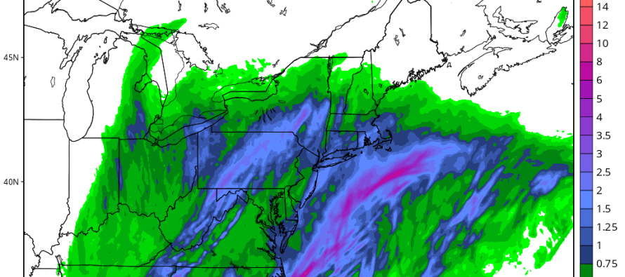
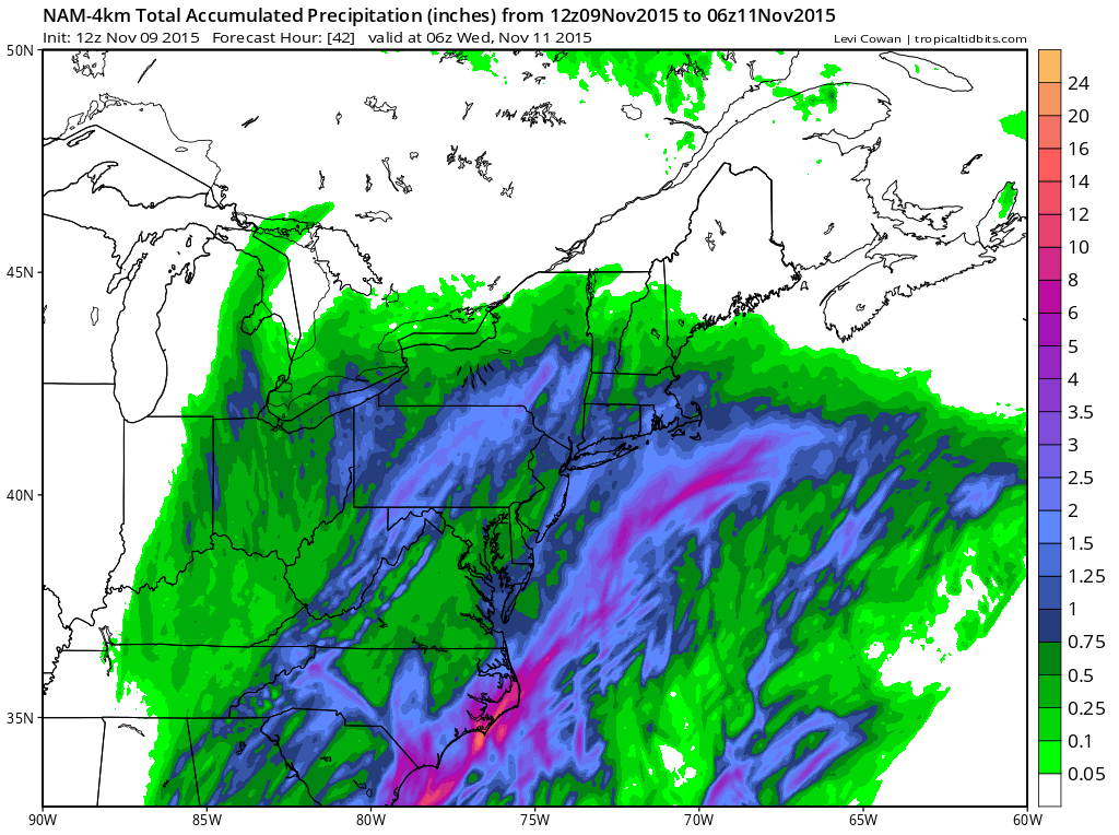
Here’s the total expected precipitation from now through early Wednesday AM as seen on the 12Z run of the high-res 4km NAM model:
So basically nothing crazy here, .25-1.25 inches of rain and mild-to-moderate wind off the ocean. Maximum wind gusts should reach 20mph along the coast and be less felt inland. Nuisance outdoor weather but good soup weather. We clear for Wednesday but possibly face another round of rain just before the weekend, which still looks good as of now. Be safe! JC
Jonathan Carr (JC) is the founder and sole operator of Weather NJ, New Jersey’s largest independent weather reporting agency. Since 2010, Jonathan has provided weather safety discussion and forecasting services for New Jersey and surrounding areas through the web and social media. Originally branded as Severe NJ Weather (before 2014), Weather NJ is proud to bring you accurate and responsible forecast discussion ahead of high-stakes weather scenarios that impact this great garden state of ours. All Weather. All New Jersey.™ Be safe! JC


