A winter storm will impact the entire I-95 corridor from DC to Boston right before Thanksgiving impacting millions who are traveling. Model guidance is coming to a consensus for a coastal low pressure disturbance to ride up the east coast in the Wednesday-Thursday time frame. There is still a slight margin in possible storm track which will have more affect on coastal and SENJ (rain vs snow) but again, the I-95 corridor is looking at travel problems starting as early as Wednesday during the day. Based on current model guidance, I’m ready to present the following “first forecast thoughts” map:
The darker blue area should stay mostly snow but feature a sharp cutoff in accumulations to the NW.
The lighter blue area should start as rain/wintry mix and changeover to snow as temperatures drop from NW to SE. The sooner that occurs, the higher the final snow accumulations.
The green area should start as rain and end as snow. Given that this area is closer to the warmer ocean and the onshore winds that will occur…this area should struggle with accumulations but could still end with anything from a slushy coating to a few inches. Areas closer to the light blue region have a better chance at tail-end accumulations than areas right along the coast.
As far as timing goes, precipitation could start as early as Wednesday afternoon and clear out as late as Thanksgiving morning. The next few days of model guidance should help establish a more accurate window.
In English: Expect a coastal storm to bring wintry precipitation to New Jersey. For many it should start as rain and change over to snow. That changeover will happen earlier for interior New Jersey and later for coastal and SE New Jersey. While everyone should end as snow, final accumulations should be higher inland than for coastal regions. Tomorrow’s map will feature expected accumulations in inches. Be safe! JC
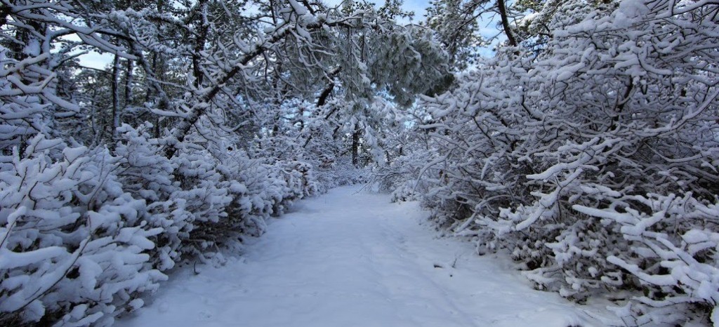
Image Credit: A Forgotten Path by Greg Molyneux Photography
Jonathan Carr (JC) is the founder and sole operator of Weather NJ, New Jersey’s largest independent weather reporting agency. Since 2010, Jonathan has provided weather safety discussion and forecasting services for New Jersey and surrounding areas through the web and social media. Originally branded as Severe NJ Weather (before 2014), Weather NJ is proud to bring you accurate and responsible forecast discussion ahead of high-stakes weather scenarios that impact this great garden state of ours. All Weather. All New Jersey.™ Be safe! JC
