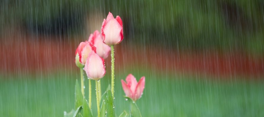
Not a Washout (April 29-May 3)

Discussion: I know this outlook is a bit late so we’ll focus on tonight-forward. An upper-level ridge should dominate the region this week with above-average geopotential heights. This should keep the upper-level jet to the N of New Jersey through the weekend. This means mild temps and plenty of opportunity for passing rain showers whether in the form of pop-up destabilized cells or weak frontal activity. We are not looking at heavy rain all day every day. Not a washout! No major severe weather outbreaks or synoptic storm systems are on the horizon. Just a run-of-mill mixed bag of spring conditions.
Monday (April 29) overnight lows should range from lower-40s to lower-50s NNJ to SNJ under mostly cloudy skies.
Tuesday (April 30) high temperatures should reach into the 70s for most. 80 is not out of the question closer to Philly/Trenton. NNJ elevations might hang in the upper-60s. Skies should start mostly cloudy with rain and possibly thunderstorms. Conditions should improve overall by afternoon but cannot rule out isolated-to-scattered PM showers or thunderstorms given the thermal instability. Winds should be light out of the W. Overnight lows should range from upper-40s to upper-50s NNJ to SNJ.
Wednesday (May 1) high temperatures should range from upper-50s to upper-60s NNJ to SNJ. Skies should be partly sunny with a small chance of showers. Winds should be light out of the E/SE. Overnight lows should range from near-50 to near-60 NNJ to SNJ.
Thursday (May 2) high temperatures should reach into the 70s for most. Areas closer to Philly/Trenton could spike into the 80s. Skies should be partly-to-mostly cloudy with a small chance of passing showers and thunderstorms during PM hours. Winds should be light out of the E/SE. Overnight lows should range from near-50 to near-60 NNJ to SNJ.
Friday (May 3) high temperatures should reach the mid-to-upper 60s for most. Areas closer to Philly/Trenton should reach into the 70s. Skies should be partly cloudy with more passing showers possible. Winds should be light out of the SE. Overnight lows should range from near-40 to near-60 NNJ to SNJ.
An early look at the weekend indicates an unsettled Saturday (some rain) and much better Sunday. Highs should range from 60s in NNJ to 70s in SNJ. Let’s see how it looks in a few days. Have a great week and please be safe! JC
Download the new free Weather NJ mobile app on Apple and/or Android. It’s the easiest way to never miss Weather NJ content. Our premium services go even further above and beyond at the hyperlocal level. Looking for industrial-caliber long-range forecasting data that I personally recommend? Check out WeatherTrends360!
Jonathan Carr (JC) is the founder and sole operator of Weather NJ, New Jersey’s largest independent weather reporting agency. Since 2010, Jonathan has provided weather safety discussion and forecasting services for New Jersey and surrounding areas through the web and social media. Originally branded as Severe NJ Weather (before 2014), Weather NJ is proud to bring you accurate and responsible forecast discussion ahead of high-stakes weather scenarios that impact this great garden state of ours. All Weather. All New Jersey.™ Be safe! JC


