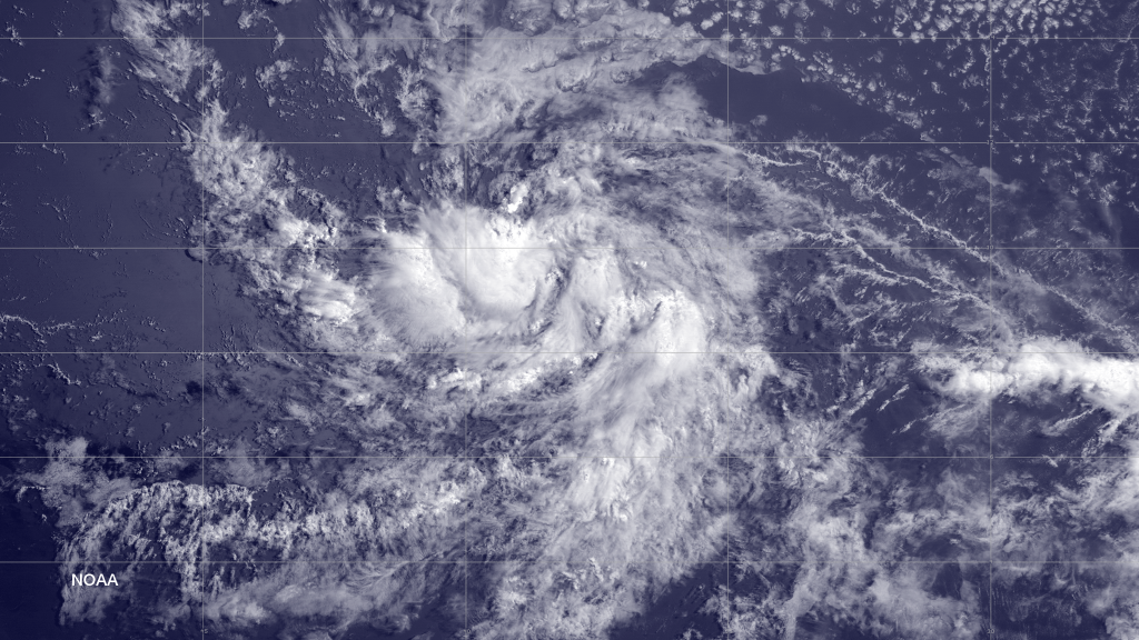
Tropical Storm Bertha has formed in the Atlantic Ocean and is heading towards the Leeward Island portion of the Lesser Antilles. The latest computer model guidance suggests that Bertha will then turn towards the Bermuda region after possibly passing near/over NE parts of the Dominican Republic. I’m not saying it’s going to hit Bermuda dead-on because meteorologically that’s a small bull’s-eye from this far away. Whether it passes east, west or directly over Bermuda is still far from being determined but that’s the general direction.
Atmospheric dynamics (frontal trough lifting effect mainly) over the NE and mid-Atlantic US should keep this storm out to sea as it passes by sometime next week. The extent of New Jersey impact will be elevated surf/rip-tide along the beaches next week. I’ll be monitoring closely should stronger NJ impact become apparent. For now Bertha sleeps with the fish as indicated on current guidance:
Images from NOAA and WeatherBell Analytics. Be safe! JC
Jonathan Carr (JC) is the founder and sole operator of Weather NJ, New Jersey’s largest independent weather reporting agency. Since 2010, Jonathan has provided weather safety discussion and forecasting services for New Jersey and surrounding areas through the web and social media. Originally branded as Severe NJ Weather (before 2014), Weather NJ is proud to bring you accurate and responsible forecast discussion ahead of high-stakes weather scenarios that impact this great garden state of ours. All Weather. All New Jersey.™ Be safe! JC
