The coastal system responsible for heavy surf this weekend is steaming out to sea while weak high pressure moves through and ultimately another cold front. Lets break down what exactly that means:
Monday high temperatures should reach the lower-80s statewide. Skies should feature a mixed bag of sun, clouds, a few showers and even an isolated thunderstorm. Winds should be light out of the S/SE. Overnight lows should drop into the 60s (interior) and lower-70s (coast).
Tuesday high temperatures should reach the lower-80s statewide. Expect widespread rainfall with possible embedded thunderstorms. Winds should be light-to-moderate out of the S/SW. Overnight lows should drop into the 60s for most of New Jersey (50s for NNJ elevations).
Wednesday high temperatures should range from upper-70s (interior) to lower-80s (coast). Skies should be mostly sunny with just a small chance of a rogue shower for the first half of the day. The cold front should be through by late-afternoon which willl mean a dry evening-overnight. Winds should be light out of the NW. Overnight lows should fall into the 50s (interior) and 60s (coast).
Thursday high temperatures should range from upper-70s (interior) to lower-80s (coast). Skies should be mostly sunny. Winds should be light out of the W/NW. Overnight lows should fall into the 50s (interior) and 60s (coast).
Friday high temperatures should reach the mid-80s. Skies should be mostly sunny with slight humidity so lets allow for an isolated afternoon-early evening shower or thunderstorm (instability-driven, no shear or frontal trigger). Most should stay dry and stormless. Winds should be light out of the SW. Overnight lows should range from upper-50s (NNJ elevations) to lower-70s (coast).
An early look at the weekend indicates more humid, warm (not hot) and sunny conditions for at least the first half. Sunday currently has some light rain showing on mid-to-long range guidance but lets revisit mid-week with a more confident look at short-range guidance. We’ll take a look Wednesday PM.
This Monday-Friday outlook is proudly sponsored by weathertrends360 (www.weathertrends360.com). Through 150 years of world wide weather data analysis, weathertrends360 has developed proprietary algorithms and methods that predict weather up to a year with 84% accuracy. They are second to none in the long range so check them out for business planning, travel planning, etc. Also check out their free txt and email alerts!
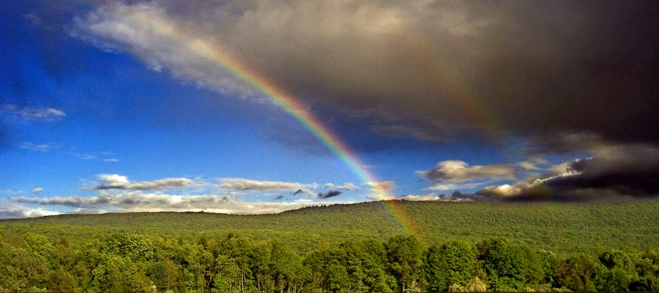
I took the above picture from the Edwin B. Forsythe National Wildlife Refuge in Barnegat, NJ. Be safe and have a great week! JC
Jonathan Carr (JC) is the founder and sole operator of Weather NJ, New Jersey’s largest independent weather reporting agency. Since 2010, Jonathan has provided weather safety discussion and forecasting services for New Jersey and surrounding areas through the web and social media. Originally branded as Severe NJ Weather (before 2014), Weather NJ is proud to bring you accurate and responsible forecast discussion ahead of high-stakes weather scenarios that impact this great garden state of ours. All Weather. All New Jersey.™ Be safe! JC
