Mixed Weather Expected this Week (June 22-26)

This week should start hot and stormy and end cool and rainy with a few nice days between. Let’s break it down:
Monday should reach the mid-to-upper 80s with the chance for 90 away from the ocean. Skies should be mostly sunny with bearable humidity. Winds should be light out of the W/NW. Overnight lows should only fall to about 70, maybe mid-to-upper 60s in NNJ elevations.
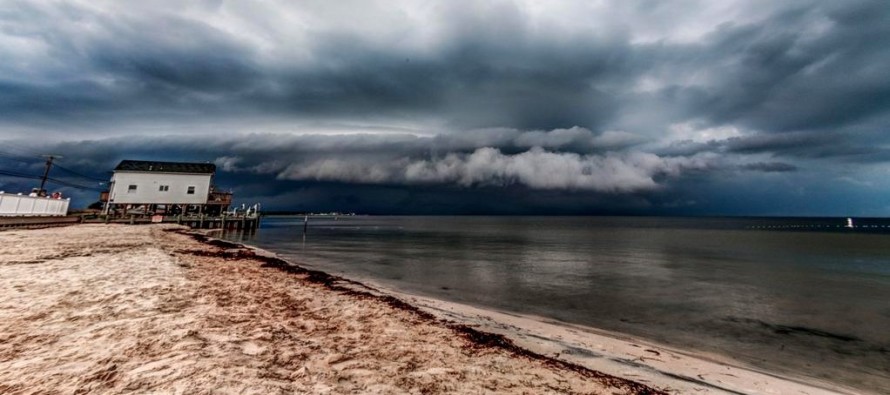
Tuesday should break 90 for most with increased humidity. Most of the day should feature a mixed bag of sun and clouds but PM thunderstorms are expected with severe criteria on the table. We’ll have decent instability over high dew points and adequate wind shear to potentially produce powerful thunderstorms. I’ll be tracking. Heads up to chasers and photographers…best chance of the year yet! Until the energy rolls through, winds should be stiff out of the SW. Overnight lows should fall into the 60s with storms clearing to our SE by midnight, maybe early AM hours.
Wednesday should only reach the low-to-mid 80s with noticeably less humidity. The cold front will be through which should make for a more pleasant feel. Winds should be light out of the NW. Overnight lows should fall into the upper-50s (NNJ elevations) and 60s (rest of New Jersey).
Thursday should also top out in the low-to-mid 80s. Humidity might try to trickle back in throughout the day which could allow isolated showers and thunderstorms to form. Otherwise, most of the day should feature sun and clouds. By late-afternoon/evening, clouds should increase in advance of rain showers. Winds should be light out of the S/SW. Overnight lows should fall into the 60s with rainfall possible.
Friday should reach the upper-70s/lower-80s statewide for high temperatures. Rainfall, with possibly embedded thunderstorms, is possible. Winds should be stiff out of the SW ahead of the low pressure disturbance. Overnight lows should fall into the 60s statewide with rain tapering off.
An early look at the weekend indicates an “okay” Saturday with more rain expected for Sunday. I’ll have a much better handle on this mid-week.
This Monday-Friday Outlook is proudly sponsored by weathertrends360 (www.weathertrends360.com). Through 150 years of world wide weather data analysis, weathertrends360 has developed proprietary algorithms and methods that predict weather up to a year with 84% accuracy. They are second to none in the long range so check them out for business planning, travel planning, etc.
Be safe and have a great week! JC
Jonathan Carr (JC) is the founder and sole operator of Weather NJ, New Jersey’s largest independent weather reporting agency. Since 2010, Jonathan has provided weather safety discussion and forecasting services for New Jersey and surrounding areas through the web and social media. Originally branded as Severe NJ Weather (before 2014), Weather NJ is proud to bring you accurate and responsible forecast discussion ahead of high-stakes weather scenarios that impact this great garden state of ours. All Weather. All New Jersey.™ Be safe! JC


