Warm fronts, cold fronts, humidity, storms, rain and sunshine—we’ve got it all this week. Let’s break down how it should play out…
Monday high temperatures should reach about 90 statewide, give or take a few. Humidity should be noticeably elevated. Most of the day should be sunny but afternoon-evening thunderstorms are possible, especially for NWNJ. The other lower 2/3 of the state are at lesser risk for any shower or storm activity but not zero-risk. Winds should be 5-10mph out of the SW with gusts to 15mph. Overnight low should fall into the lower-70s/upper-60s as isolated shower and storm chances persist through Tuesday sunrise.
Tuesday high temperatures should reach the mid-to-upper 80s with continued humidity. Skies should be mostly sunny with afternoon-early evening showers and thunderstorms possible, especially in SNJ. Winds should be 5-10mph out of the W/SW with gusts to 15mph. Overnight lows should fall into the 60s for most of New Jersey (lower-70s for coastal regions).
Wednesday high temperatures should reach the low-to-mid 80s. This looks like the driest day of the week with slightly reduced humidity and temperatures thanks to a dry cold front. Winds should be 5-10mph out of the W/NW with gusts to 15mph. Overnight lows should fall into the 60s for most of New Jersey (possibly even the upper-50s for NNJ elevations).
Thursday high temperatures should reach the mid-70s for NW points and mid-80s along the shore. A mixed bag of rain and storms are possible with low pressure tracking through the region. This day will likely have to be now-casted on radar but that’s the general idea. Winds should vary around the low pressure system but generally start out of the W and gradually switch to the N/NE. Overnight lows should fall into the 60s for most of New Jersey (possibly even the mid-to-upper 50s for NNJ elevations).
Friday high temperatures should reach the mid-to-upper 70s for most (a few lower-80s are possible near the coast). Skies look generally gloomy and overcast with rain showers and thunderstorms possible. Winds should be 5-10mph out of the N/NE with gusts to 15mph. Overnight lows should fall into the 60s for most of New Jersey (possibly even the upper 50s for NNJ elevations).
An early look at the weekend indicates more cloudy conditions with on-and-off showers and storms. I’ll have a much more confident handle on that by Wednesday evening. For now, it looks like the overall cooling trend that WeatherTreends360 identified around this time-frame is coming to fruition on computer-based model guidance as most future August high temperatures fail/struggle to break 80.
This Monday-Friday outlook is proudly sponsored by weathertrends360 (www.weathertrends360.com). Through 150 years of world wide weather data analysis, weathertrends360 has developed proprietary algorithms and methods that predict weather up to a year with 84% accuracy. They are second to none in the long range so check them out for business planning, travel planning, etc. Also check out their free txt and email alerts!
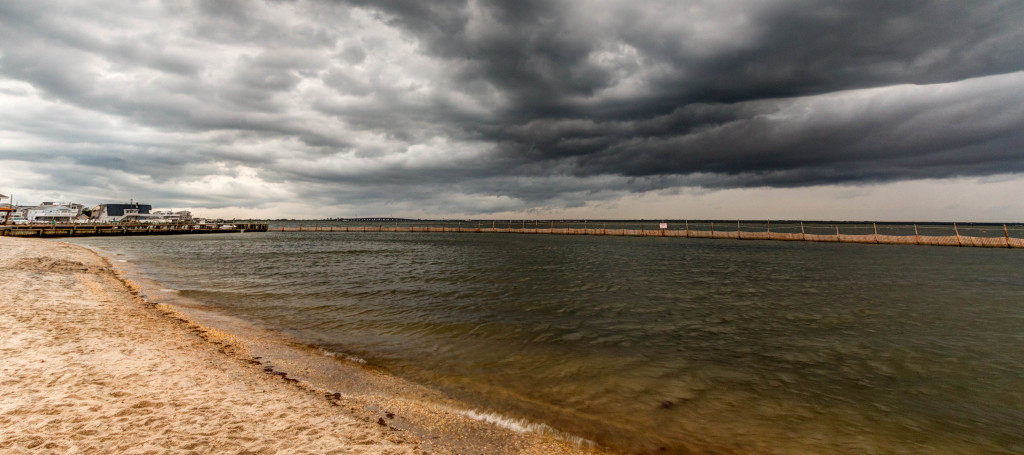
I took the above picture from Surf City Park this past week. Be safe and have a great week! JC
Jonathan Carr (JC) is the founder and sole operator of Weather NJ, New Jersey’s largest independent weather reporting agency. Since 2010, Jonathan has provided weather safety discussion and forecasting services for New Jersey and surrounding areas through the web and social media. Originally branded as Severe NJ Weather (before 2014), Weather NJ is proud to bring you accurate and responsible forecast discussion ahead of high-stakes weather scenarios that impact this great garden state of ours. All Weather. All New Jersey.™ Be safe! JC
