High pressure will have control for another 24-36 hours. This should make for another beautiful summery Monday. Tuesday and Wednesday, however, look rainy and stormy. With any luck we’ll return to fair weather for Thursday and Friday. Let’s break it down by day.
Monday should range in the 80s statewide with mostly sunny conditions. Winds should be light out of the S/SE before lows drop into the 60s.
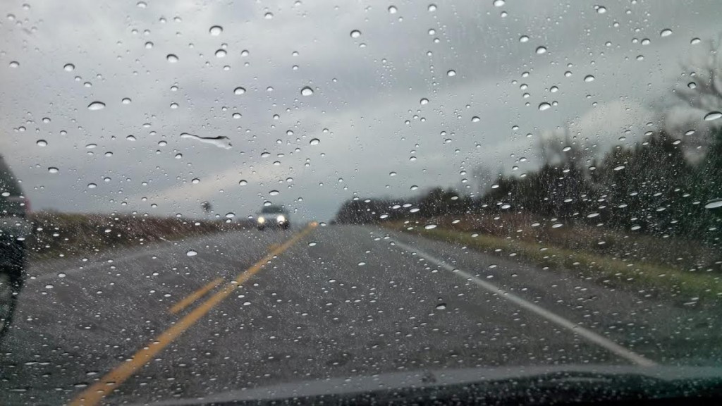
Tuesday might start okay in the early morning but rain and storms should move between late morning and afternoon. Basically a low pressure disturbance will be moving through the Great Lakes and out into the Atlantic Ocean to our north. This should bring a wet period through Tuesday and into the overnight hours. Highs will stay in the 70s and lows will dip to the upper-60s. Winds will remain out of the south while not storming. I’ll be live-casting the rain and storms as they move through. As always NWNJ has the best chance and SENJ has the least chance. Despite storms vs no storms, periods of heavy precipitation are expected.
Wednesday doesn’t look as wet as Tuesday but definitely unsettled. Watch out for showers and thunderstorms associated with a slow moving frontal passage. Once the front is through, winds will switch to the NW as cooler air descends from Canada yet again. Exact timing of the front will have to be live-casted but high temps should range in the lower 80s before dropping into the upper-50s at night.
Thursday and Friday look heavenly with mostly sunny highs of 75-80 and lows in the 50s. Winds should range from 5-15mph out of the NW. An early peek at the weekend indicates more of the same.
This Monday-Friday Outlook is proudly powered and sponsored by weathertrends360 (www.weathertrends360.com). Through 150 years of world wide weather data analysis, weathertrends360 has developed proprietary algorithms and methods that predict weather up to a year with 84% accuracy. They are second to none in the long range so check them out for business planning, travel planning, etc.
Be safe and have a great week! JC
Jonathan Carr (JC) is the founder and sole operator of Weather NJ, New Jersey’s largest independent weather reporting agency. Since 2010, Jonathan has provided weather safety discussion and forecasting services for New Jersey and surrounding areas through the web and social media. Originally branded as Severe NJ Weather (before 2014), Weather NJ is proud to bring you accurate and responsible forecast discussion ahead of high-stakes weather scenarios that impact this great garden state of ours. All Weather. All New Jersey.™ Be safe! JC
