Mixed Conditions (Nov 9-13)

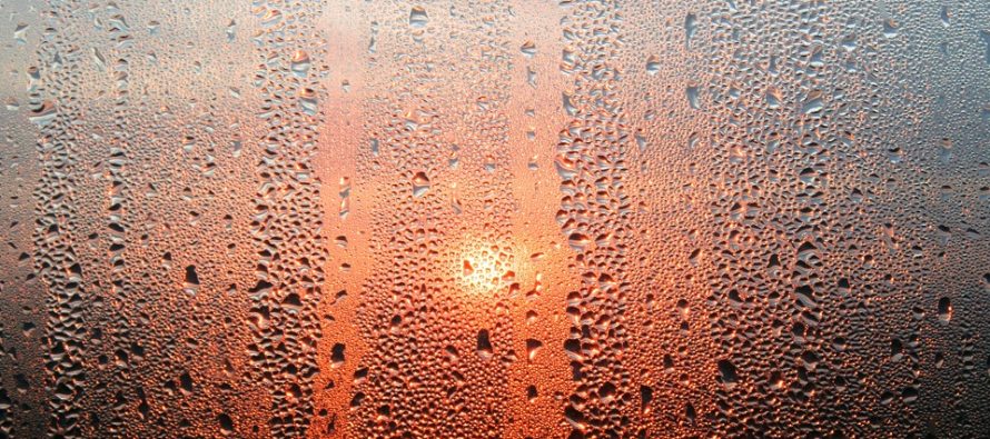
Discussion: A strong E US ridge should continue to dominate the pattern through Wednesday morning. This obviously keeps the 250mb jet to the N of NJ with warm/mild high pressure-driven surface conditions beneath. The high pressure that brought us beautiful blue skies, mild temperatures, and dry sinking air for the weekend is now pushing off into the W Atlantic Ocean. This will now allow return flow to advect air from the S with higher moisture content. Where I’m going with this is a recipe for overnight/early AM fog Monday and Tuesday. By Wednesday, an area of convergence along a boundary should push through with rain starting by evening hours, lasting through most of Thursday, and then tapering off by early Friday AM hours. This should then set us up for northerly front-side anticyclonic flow from the next high approaching—a cooler, crisper, and drier Friday-Saturday. Sunday is currently modeled unsettled as more convergence couples with a warm front/the warm sector of a weak E Great Lakes low.
Note: Unless specifically mentioned by location (Example: NNJ elevations, SENJ immediate coast, Interior CNJ/SNJ, etc.) assume the following forecast language is statewide for New Jersey. When I say “from elevations to sea” I mean from NWNJ mountains spreading down to immediate ECNJ/SNJ coastal areas. Directions are shortened (N = North, S = South, W/SW = West/SouthWest, etc.).
Monday (Nov 9) high temperatures should reach the low-to-mid 70s for many areas except the immediate ECNJ/SENJ coast which could hang in the 60s. Skies could start foggy in the AM but should transition to a mix of sun and clouds by late-morning. Winds should be light out of the SW. Overnight lows should fall into the 50s.
Tuesday (Nov 10) high temperatures should reach the mid-to-upper 60s. Skies could again start foggy for AM hours before transitioning to a mix of sun and clouds. Winds should be light out of the S/SW. Overnight lows should hang near-60 for most areas, maybe down to mid-50s for NNJ elevations.
Wednesday (Nov 11) high temperatures should reach near-70. Skies should be mostly cloudy with periods of rain likely developing by ~late-afternoon hours, if not by late-morning. Winds should be light out of the S/SW. Overnight lows should hang near-60 as periods of rain continue.
Thursday (Nov 12) high temperatures should reach the low-to-mid 60s. Skies should remain mostly cloudy with periods of rain likely. Winds should transition from S/SW to N but all of light intensity. Overnight lows should range from near-40 to near-50 from elevations to sea.
Friday (Nov 13) high temperatures should reach the mid-to-upper 50s. Skies should be mixed with mostly sun and a few clouds, with a drier/crisper feel. We might see the rainy conditions departing by sunrise. Winds should be light out of the NW. Overnight lows should range from mid-30s to mid-40s from elevations to sea.
An early look at the weekend indicates seasonal conditions continuing. Highs in the 50s. Lows in the 30s/40s type stuff. Saturday looks good like Friday, but Sunday looks unsettled and mild. Let’s have another look later in the week. Everyone have a great week and please be safe! JC
Download the free Weather NJ mobile app on Apple or Android. It’s the easiest way to never miss Weather NJ content. Our premium services go even further above and beyond at the hyper-local level.
Jonathan Carr (JC) is the founder and sole operator of Weather NJ, New Jersey’s largest independent weather reporting agency. Since 2010, Jonathan has provided weather safety discussion and forecasting services for New Jersey and surrounding areas through the web and social media. Originally branded as Severe NJ Weather (before 2014), Weather NJ is proud to bring you accurate and responsible forecast discussion ahead of high-stakes weather scenarios that impact this great garden state of ours. All Weather. All New Jersey.™ Be safe! JC


