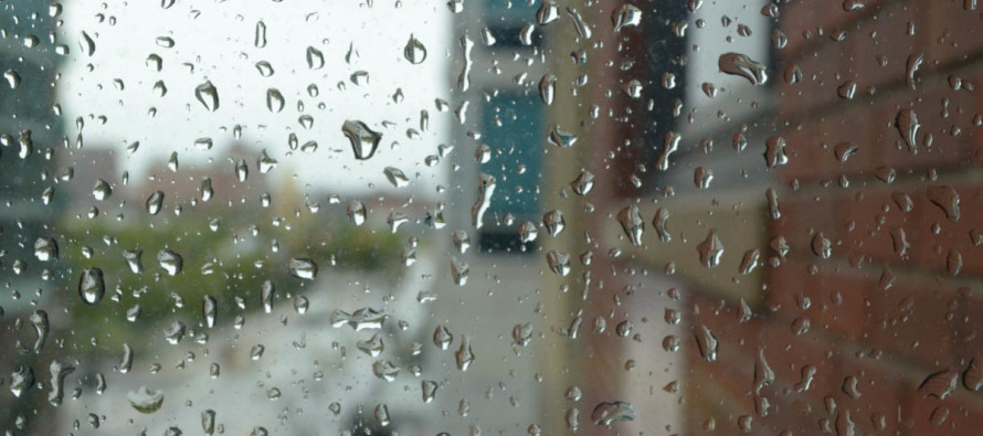
Mixed Conditions Continue (Nov 12-16)

Discussion: High pressure has control for tonight and will allow temperatures to bottom out low again. It should have control through most daylight hours tomorrow as well. By late Monday evening that high pressure should move away with a weak disturbance quickly filling the void. The period of rainfall looks like late Monday night through late Tuesday morning. Conditions improving by Tuesday afternoon. Then an upper-level W/NW jet should dry us out and chill us down again from Tuesday night through Thursday morning. Another disturbance should then move in between Thursday afternoon and evening. This should carry over into Friday morning and could start wintry for NNJ, especially in the higher elevations of NWNJ. IMO there’s more of a freezing rain threat for most of NNJ than other form of wintry precipitation given the warm air advection profile at 850mb. However, given the possible cold air damming at the lower-levels and possible cold-enough 700mb level, this is something to watch evolve this week. For the lower 2/3 of NJ you are likely dealing with cold rain. Conditions should then dry out and cool down again for the weekend.
Monday (Nov 12) high temperatures should range from upper-40s to mid-50s NNJ to SNJ. Skies should start mostly sunny and transition to clouds by evening. Winds should be light out of the S. overnight lows should range from mid-30s to near-50 NNJ to SNJ.
Tuesday (Nov 13) high temperatures should range from mid-40s to mid-50s NNJ to SNJ. Skies should be mostly cloudy. Rainfall, heavy at times, is likely during most AM hours. By afternoon we should taper off and begin clearing for overnight hours. Winds should be light out of the W/NW. Overnight lows should range from mid-20s to mid-30s NNJ to SNJ.
Wednesday (Nov 14) high temperatures should reach the upper-30s/lower-40s for most. Skies should be mostly sunny. Winds should be light-to-breezy out of the NW. Overnight lows should fall into the 20s for most with ENJ/SENJ coastal regions hanging in the low-to-mid 30s.
Thursday (Nov 15) high temperatures should range from upper-30s to upper-40s NNJ to SNJ. Skies should start partly sunny and transition to clouds and likely rainfall by evening hours. A small mention that precipitation could start wintry in NNJ (mostly along and N of I-80) between late-morning and afternoon but should eventually transition to all rain. The higher elevations would hold onto wintry conditions the longest. Winds should be light out of the E/NE for most, breezier along the immediate ENJ coastal areas. Overnight lows should range from lower-30s to mid-40s NNJ to SNJ.
Friday (Nov 16) high temperatures should range from upper-40s to upper-50s NNJ to SNJ. Skies should start mostly cloudy with AM rainfall likely before transitioning to improving PM conditions. Winds should be breezy and rock in-direction around the expected departing low. Overnight lows should range from lower-30s to lower-40s NNJ to SNJ.
An early look at the weekend indicates colder and drier conditions after Friday’s rain moves out. Highs in the 40s lows in the 20s type stuff again. Let’s see how it looks in a few days. Everyone have a great week and please be safe! JC
Jonathan Carr (JC) is the founder and sole operator of Weather NJ, New Jersey’s largest independent weather reporting agency. Since 2010, Jonathan has provided weather safety discussion and forecasting services for New Jersey and surrounding areas through the web and social media. Originally branded as Severe NJ Weather (before 2014), Weather NJ is proud to bring you accurate and responsible forecast discussion ahead of high-stakes weather scenarios that impact this great garden state of ours. All Weather. All New Jersey.™ Be safe! JC


