Mar 17: Wintry Disturbance Detected!

How much does this suck? In our slow but sure March climb into pleasant temperatures, we might have to deal with wintry precipitation this Friday-Saturday. A weak low pressure disturbance will be taking a traditionally decent snow event track to our S and SE between Friday and Saturday. It should pick up just enough precipitation for widespread rain and/or very wet snow. We have a lot of factors working against this system but it would be irresponsible to dismiss as a possibility.
First, a quick reflection on this week’s forecast. Its windy right now because a front is moving through. It will get pretty cold overnight and through tomorrow but will moderate some heading into the disturbance on Friday (just not enough to guarantee all rain).
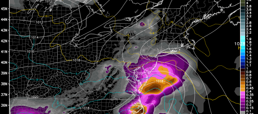
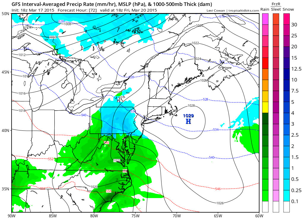
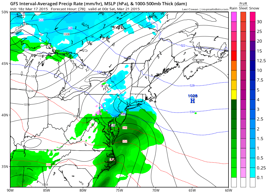
Here are the two 6-hour periods from the latest GFS model of New Jersey interest—suggesting a Friday noon to midnight window of time:
Friday 7AM-1PM
Friday 1PM-7PM
This system is long gone by sunrise on Saturday morning. Let’s talk about factors going against this:
1) The sun is at a much higher angle right now than earlier in the winter. This allows for a greater duration and intensity of diurnal surface heating. With that said, any snow that falls during daylight hours will struggle to accumulate, especially on paved surfaces.
2) Surface temperatures have gotten used to a general swing of 35F-55F in the last week or so. We’re a far cry from 2-3 weeks ago when then range was 0F-20F. This presents another reason why snow will likely struggle to accumulate.
3) Timing. For reasons stated in #1 and as modeled above, at least half of the precipitation looks to fall pre-sunset on Friday. By the time the sun is down, enough warm air could advect and change the snow to rain.
NNJ clearly has the best chance for snowfall, especially the higher elevations of NWNJ. If the upper-air temperatures and snowfall rates overpower the above factors then light accumulations are possible up that way. For CNJ, SNJ, and the coast, get ready to see what we call “white rain” fall on the street. While widespread snowfall is possible, accumulations will be severely limited S of I-195. For any light accumulations that do happen (NJTP/I-195 and N), it will be a very heavy wet slop of nuisance. The snow/rain line should start anywhere between SNJ and CNJ and slowly work northward.
In English: Expect anything from a cold rain to a heavy wet snow between noon and midnight on Friday. NNJ has the best chance for a few sloppy inches of accumulation. CNJ has the best chance of snow that doesn’t accumulate. SNJ could start as non-accumulating snow but should quickly change to rain.
On a side note, the Aurora might be visible overnight for northerly exposures with little light pollution. NNJ has the greatest chance of seeing it with SNJ having the least chance. A pretty decent geomagnetic storm is underway. Be safe! JC
Jonathan Carr (JC) is the founder and sole operator of Weather NJ, New Jersey’s largest independent weather reporting agency. Since 2010, Jonathan has provided weather safety discussion and forecasting services for New Jersey and surrounding areas through the web and social media. Originally branded as Severe NJ Weather (before 2014), Weather NJ is proud to bring you accurate and responsible forecast discussion ahead of high-stakes weather scenarios that impact this great garden state of ours. All Weather. All New Jersey.™ Be safe! JC


