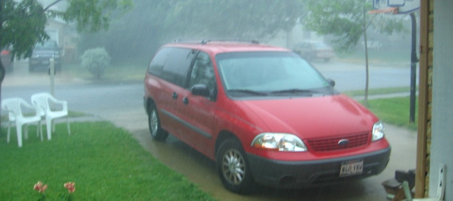
June 27: Rain Storm Approaching!

While some rainfall has already pushed through today, the main event should occur later this evening as higher winds come into play. We have some pretty impressive dynamics occurring all around us including a temporary block to our NE, an occlusion to our W, and strong energy to our S. Low pressure will be transferring to the coast today and ultimately set up a favorable storm environment for New Jersey, especially SNJ.
Rainfall could be heavy at times but skies might also feature breaks and temporary clearing due to the convective component that will be moving in from the SW. Flash flooding is possible where the heaviest rainfall sets up but high winds are also possible due to impressive wind shear parameters. Thunderstorms, capable of meeting severe criteria, are possible but will likely be of an embedded nature within the overall synoptic system. This means typically less lightning and more wind depending on how much instability is produced in our current overcast environment. Thinner clouds = more instability = more lightning. Thicker clouds = less lightning. The most impressive setup is just to our S and SW in the mid-Atlantic US. SNJ is simply too close for comfort so that’s why I’m emphasizing a greater risk for thunderstorms in that region. NNJ is likely subject to just widespread rainfall and breezy/gusty conditions when center of the systems passes through.
As far as timing goes, it’s raining now for the northern 2/3 of the state but that will fill in as we move into the evening and overnight hours. Tomorrow looks to clear in the morning but we’ll still be subject to showers and isolated storms approaching from the NW once the occluded front finally pushes through. This would likely me in the afternoon-early evening.
So basically rain, wind and storms tonight for SNJ. Rain and wind for NNJ. Nuisance conditions on-and-off tomorrow. Here’s a great forecast video from Meteorologist and Weather NJ contributor, Steven DiMartino of NY NJ PA weather. It is quite detailed and provides a wealth of knowledge about what to expect over the next 24-36 hours:
Stay dry, enjoy the rest of your weekend and be safe! JC
Jonathan Carr (JC) is the founder and sole operator of Weather NJ, New Jersey’s largest independent weather reporting agency. Since 2010, Jonathan has provided weather safety discussion and forecasting services for New Jersey and surrounding areas through the web and social media. Originally branded as Severe NJ Weather (before 2014), Weather NJ is proud to bring you accurate and responsible forecast discussion ahead of high-stakes weather scenarios that impact this great garden state of ours. All Weather. All New Jersey.™ Be safe! JC


