June 21: Watching Afternoon Thunderstorms

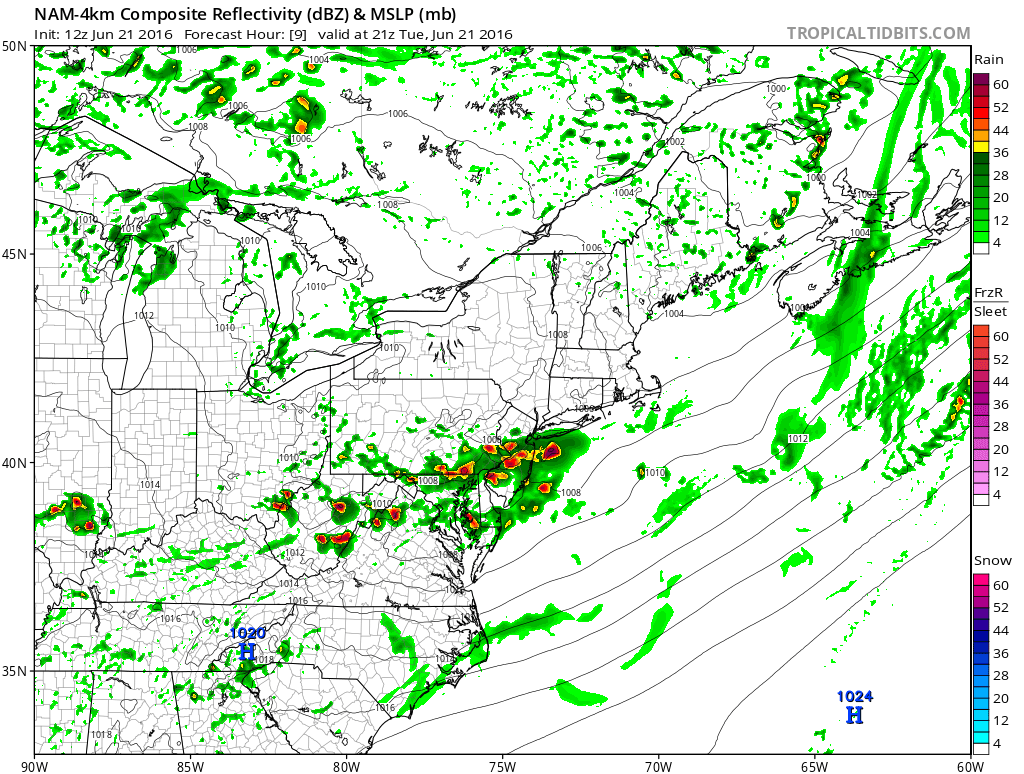
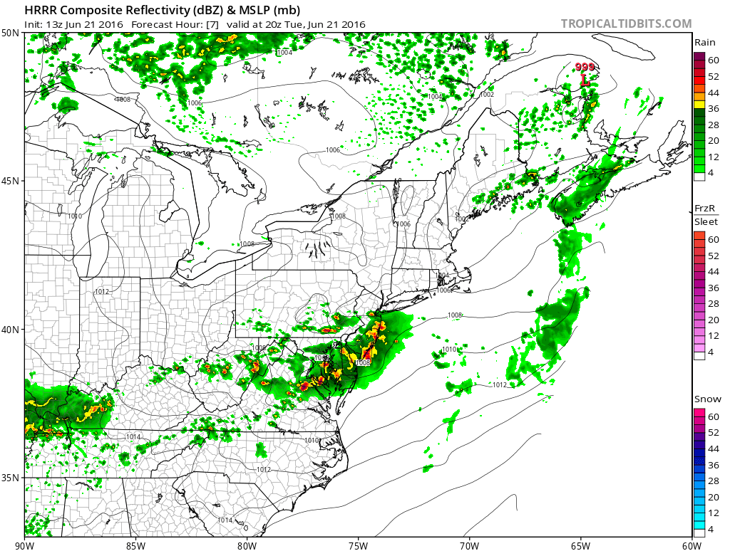
The frontal boundary approaching from our NW has slowed down a bit. This morning’s round of showers and thunderstorms, that rode the front, have shoved off to our SE and are no longer associated. Because of this little delay in frontal advancement, enough instability could build in the warm sector ahead of the front to help develop thunderstorms this afternoon/early-evening. A trigger for such storms could be provided by either the slow-to-depart front or a small surface low that could form along it. Dew point temperatures seem sufficient for storm fuel for at least CNJ and SNJ (S of I-80). Here is some simulated radar guidance off the latest high-resolution NAM and HRRR models illustrating this concern:
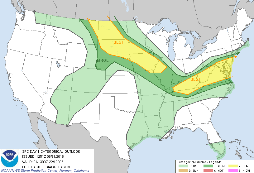
The National Weather Service Storm Prediction Center (NWS SPC) has issued the following severe outlook which further illustrates the greatest risk of severe weather occurring:
You can track the general position of the frontal boundary by observing dew points. Right now, NNJ is under much drier air than CNJ and SNJ. Therefore the frontal boundary should currently be somewhere between I-80 and I-78. Again, this will advance SE but not fast enough for afternoon/early-evening thunderstorms to form along it. Storms should be generally strong with isolated severe (winds > 58mph and/or hail 1″ or greater) criteria possible.
In English: Watch out for another period of rain and thunderstorms this afternoon, some possibly severe. CNJ and SNJ are favored over NNJ. Timing window should be about 2PM-6PM (give or take an hour – extreme SENJ will be last to clear) from W to E. Tonight should be windows-open sleeping weather. Tomorrow looks very pleasant with the cold front completely through and high-angle June sunshine. More rain/storms Thursday into early Friday but then the weekend looks incredible! Be safe! JC
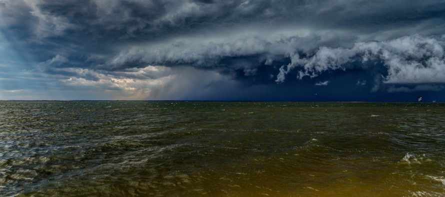
I took the cover image a few months ago from Ship Bottom, NJ
Jonathan Carr (JC) is the founder and sole operator of Weather NJ, New Jersey’s largest independent weather reporting agency. Since 2010, Jonathan has provided weather safety discussion and forecasting services for New Jersey and surrounding areas through the web and social media. Originally branded as Severe NJ Weather (before 2014), Weather NJ is proud to bring you accurate and responsible forecast discussion ahead of high-stakes weather scenarios that impact this great garden state of ours. All Weather. All New Jersey.™ Be safe! JC


