July 28: Watching the Tropics

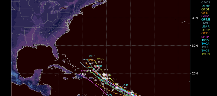
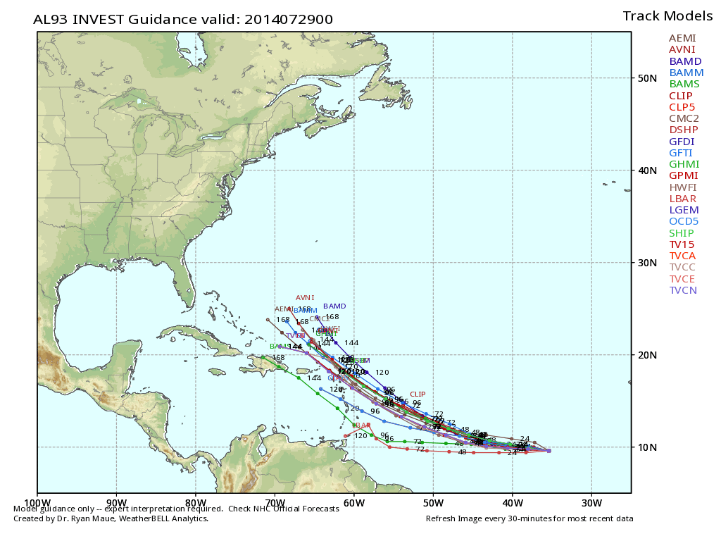
A tropical wave in the Atlantic Ocean will become a tropical depression in the next few days and ultimately Bertha. Despite being surrounded by dry air, this wave is indeed showing signs of strengthening. Current projected track is extremely uncertain this far out but model guidance is suggesting Leeward Island impact of the Lesser Antilles later this week. If the storm were to take that path it would likely re-curve out to sea and possibly threaten the Bermuda region. This would rough up the surf along the Jersey Shore but that would be the extend of impact. I’ll be following this one closely.
Tropical spaghetti model plot courtesy of WeatherBell Analytics. Be safe! JC
Jonathan Carr (JC) is the founder and sole operator of Weather NJ, New Jersey’s largest independent weather reporting agency. Since 2010, Jonathan has provided weather safety discussion and forecasting services for New Jersey and surrounding areas through the web and social media. Originally branded as Severe NJ Weather (before 2014), Weather NJ is proud to bring you accurate and responsible forecast discussion ahead of high-stakes weather scenarios that impact this great garden state of ours. All Weather. All New Jersey.™ Be safe! JC


