July 14: Monitoring Thunderstorms

An organized but weak low pressure system will be tracking from the Great Lakes straight over New Jersey between now and tomorrow morning. This system was partly responsible for yesterday’s severe weather that happened further west. It won’t be anything close to that intensity when it rolls through New Jersey but it should at least bring a few rain showers and thunderstorms our way, especially later this evening and overnight.
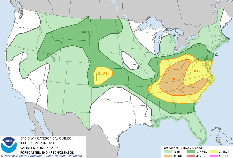
The National Weather Service Storm Prediction Center (NWS SPC) has placed New Jersey on the edge of marginal and general risk for severe weather. As you can see, SWNJ has a better chance for thunderstorms than NENJ. This is due to the best dynamics existing to our SW. :
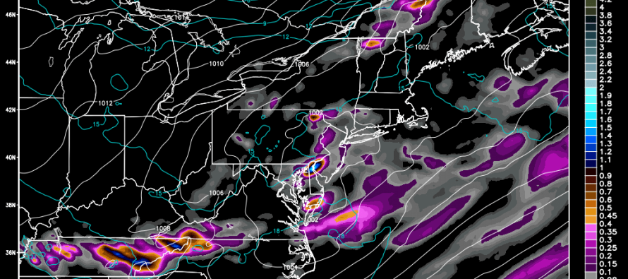
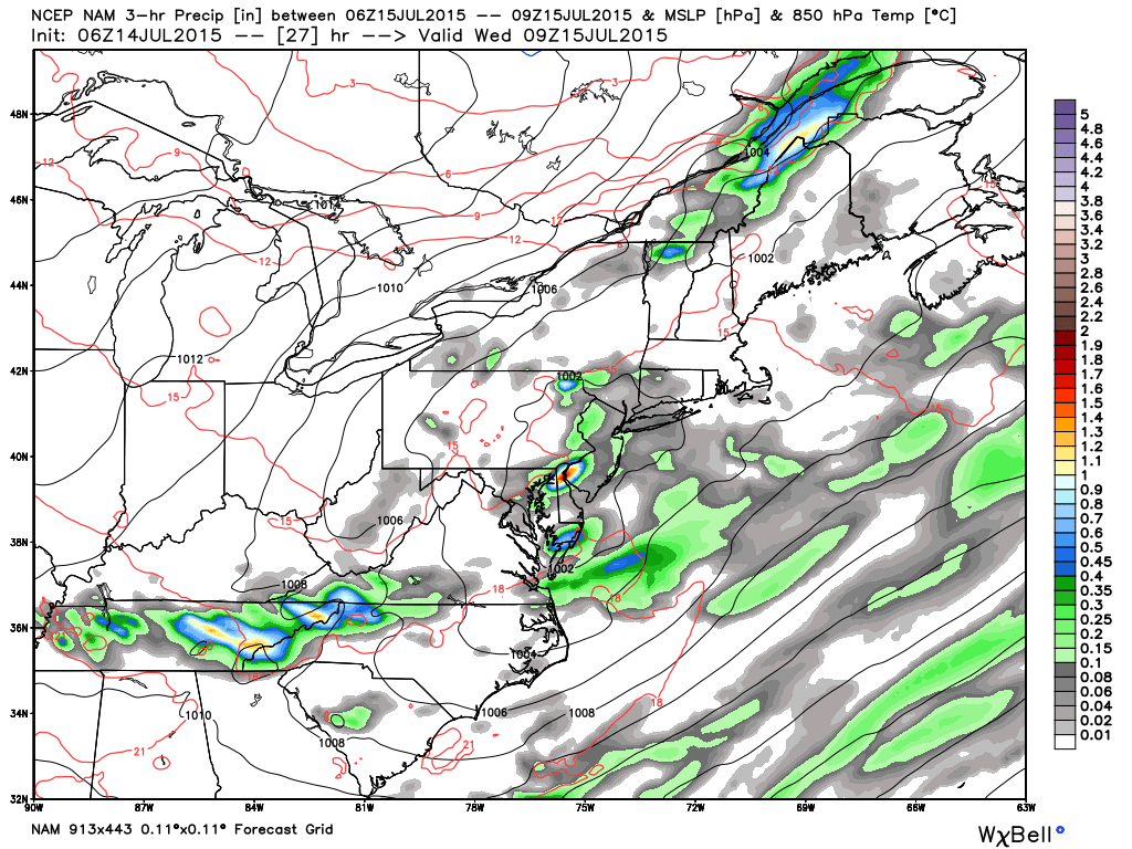
Here’s some supporting guidance from the NAM indicating that the low pressure will have it’s greatest impact overnight tonight. Until the main cluster of precipitation and storms moves through, just isolated to scattered showers are possible today as a slowly moving warm front dominates the region.
In English: Expect isolated (hit or miss) showers and thunderstorms through most of today. Showers and storms should concentrate into more of a clustered and scattered nature towards this evening as they approach from the W/NW. The best timing chance for such exists between evening and early AM hours. Only isolated instances of severe criteria are possible and primarily for wind only. Most of this energy should remain below severe criteria leaving flash flooding the main concern for areas that get stuck under training precipitation. Some lingering rain could hang around tomorrow morning but we should eventually clear out by late-afternoon for a few beautiful days heading into the weekend. Be safe! JC
Jonathan Carr (JC) is the founder and sole operator of Weather NJ, New Jersey’s largest independent weather reporting agency. Since 2010, Jonathan has provided weather safety discussion and forecasting services for New Jersey and surrounding areas through the web and social media. Originally branded as Severe NJ Weather (before 2014), Weather NJ is proud to bring you accurate and responsible forecast discussion ahead of high-stakes weather scenarios that impact this great garden state of ours. All Weather. All New Jersey.™ Be safe! JC


