Jan 8: Winter Storm Recap and Look Ahead

A few notes on the winter storm and a general look ahead…
First, welcome to the many new followers who have discovered Weather NJ over the last week or so. If you’re curious who’s behind the curtain, you can read about Weather NJ and myself here. Otherwise, a huge thanks to all existing followers for your continued support in my service. Every time significant snow rolls through New Jersey, this great thing of ours gets a little larger 8)
Storm Discussion: Yesterday’s snow storm didn’t come into model focus until last weekend. A storm signal however was visible going back to December 21 which Eastern PA Weather Authority (EPAWA) Chief Meteorologist Bobby Martrich first identified. We’ve actually been calling this the Bobby storm in the back channels of the internet weather world.
The storm signal itself came in the form of a negative Eastern Pacific Oscillation (-EPO) and a negative North Atlantic Oscillation (-NAO) which allowed an almost CONUS-wide trough of Arctic air to spill/dig into the US. At first it looked like just a singular wave of low pressure would ride the Arctic front from the Gulf of Mexico through the Mid-Atlantic. Then the energy gave a dual-wave signature which split into the lighter Thursday PM-Friday AM event and yesterday’s more significant event. Upper-level physics then told us that the subtropical and polar jet streams would be delivering shortwaves across the US. We identified that if the subtropical shortwave raced ahead of the polar shortwave that it would tilt the overall trough just enough to raise heights for east coast—allowing the storm to track just close enough for what happened.
The system was pretty flat and quick/progressive, tracking well to the SE of the 40N/-70W benchmark. It was the mid-levels (700-850mb) that interacted with the upper-level (500mb) shortwave axis enough to create the frontogenic forcing we saw yesterday (the heavy bands of snow). Also there was a very strong 250mb jet which allowed for an area of divergence aloft to further enhance the meso-banding and push the lower accumulations further NW just passed I-95. This naturally bumped (slightly) snow totals for everyone SE of the I-95 corridor, especially the SENJ jackpot area. We fell just short of a Kaboom for SENJ but this will go down as a SECS (Significant East Coast Storm) for said area with jackpot accumulations topping out in the 6-10 range.
A Look Ahead: As far as temperatures go, we’re looking very cold today and tomorrow with winds making it feel even colder. I’m talking pipe-busting lows overnight tonight. NWNJ elevations could dip into negative single digits but should at least fall into positive single digits. The rest of NJ should expect to fall into the single digits/teens. Highs today and tomorrow should top out in the 20s. Tomorrow night will be another cold one but we’ll then moderate by mid-week. There’s a “thread-the-needle” winter storm signal showing up next weekend but we’re just casually monitoring for now. It would be a SWFE (SouthWest Flow Event) with a strong high to our N—a very tricky system to forecast for. If the signal is still showing mid-week, we’ll start to discuss publicly.
As far as precipitation goes, we should expect some on Tuesday night into Wednesday morning when the warm front moves through. There is some wintry concern at the onset of precipitation for the usual suspects. The ground will be very cold after this current air mass. Therefore we could see run-of-mill front end mixed precipitation types but everyone would eventually end as rain Wednesday morning. SNJ would change over quick and first followed by CNJ/NNJ and lastly the elevations of NWNJ.
In English: We’re going to stay very cold today through Tuesday, especially during overnight hours. The wind chill effect will be noticable. On Tuesday we’ll begin moderating. Most will see rain Tuesday night into Wednesday morning but some areas have the chance to start with mixed wintry precipitation types. NWNJ has the best chance for such while SENJ has the least. Then we’re looking above-average in temperature overall heading into the second half of January but with another possible transient wintry event around the Jan 15th. I’ll have a detailed Monday-Friday Outlook posted this evening. Everyone have a great rest of your Sunday and please be safe! JC
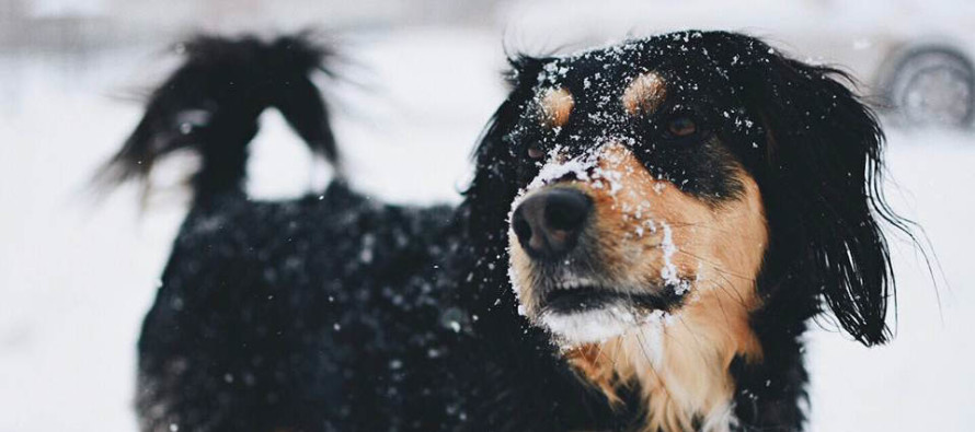
Image Credit: Patti DiPaolo Houwen (submitted via Weather NJ live observation thread)
Jonathan Carr (JC) is the founder and sole operator of Weather NJ, New Jersey’s largest independent weather reporting agency. Since 2010, Jonathan has provided weather safety discussion and forecasting services for New Jersey and surrounding areas through the web and social media. Originally branded as Severe NJ Weather (before 2014), Weather NJ is proud to bring you accurate and responsible forecast discussion ahead of high-stakes weather scenarios that impact this great garden state of ours. All Weather. All New Jersey.™ Be safe! JC


