Jan 7: Friday AM Snow Detected…and About Next Week

Before we talk about the snow potential for next week we need to first look at this Friday. Another clipper system will be passing through—this time to our north. Short-range model guidance is indicating a lake-enhanced squall passing through New Jersey on the southern side of the disturbance. Lets look at two short-range model slides:
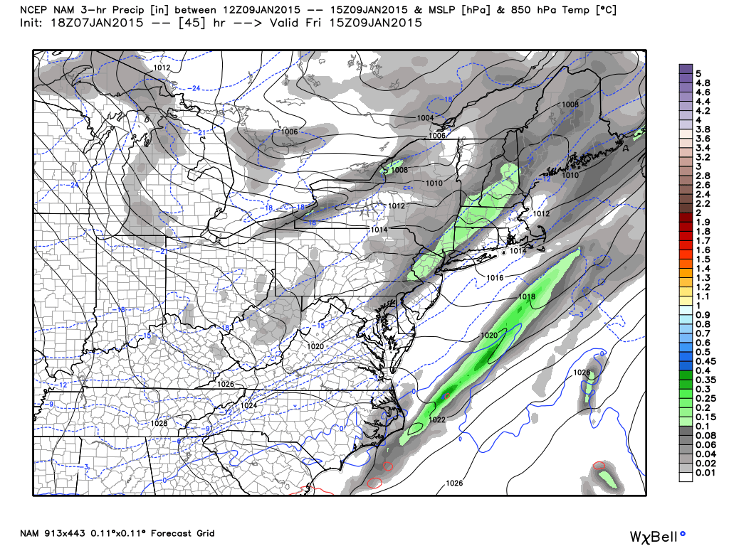
First is the latest NAM showing precipitation falling between 7AM and 10AM Friday morning. All precipitation will likely be snow given the temperature profile.
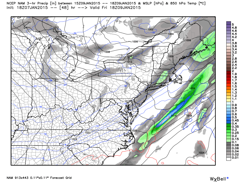
Next is the latest NAM showing precipitation falling between 10AM and 1PM Friday afternoon. Again, all precipitation will likely be cold enough for snow.
This is not a major system by any means. It’s a quick hitting snow squall that should perform like the clipper we just had. In this case, NWNJ would be favored for more snow than SENJ. That’s about all there is to say about it. Moving forward…
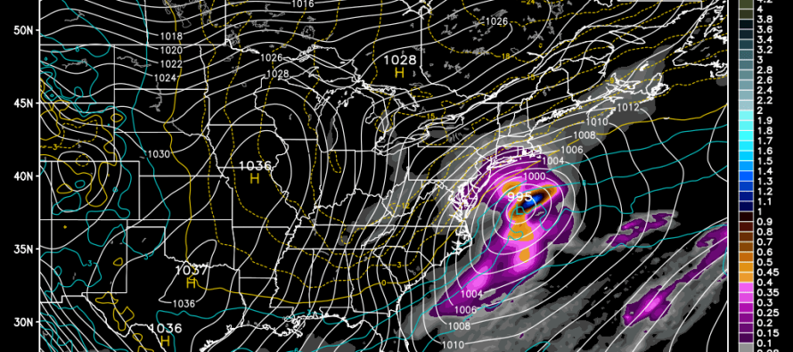
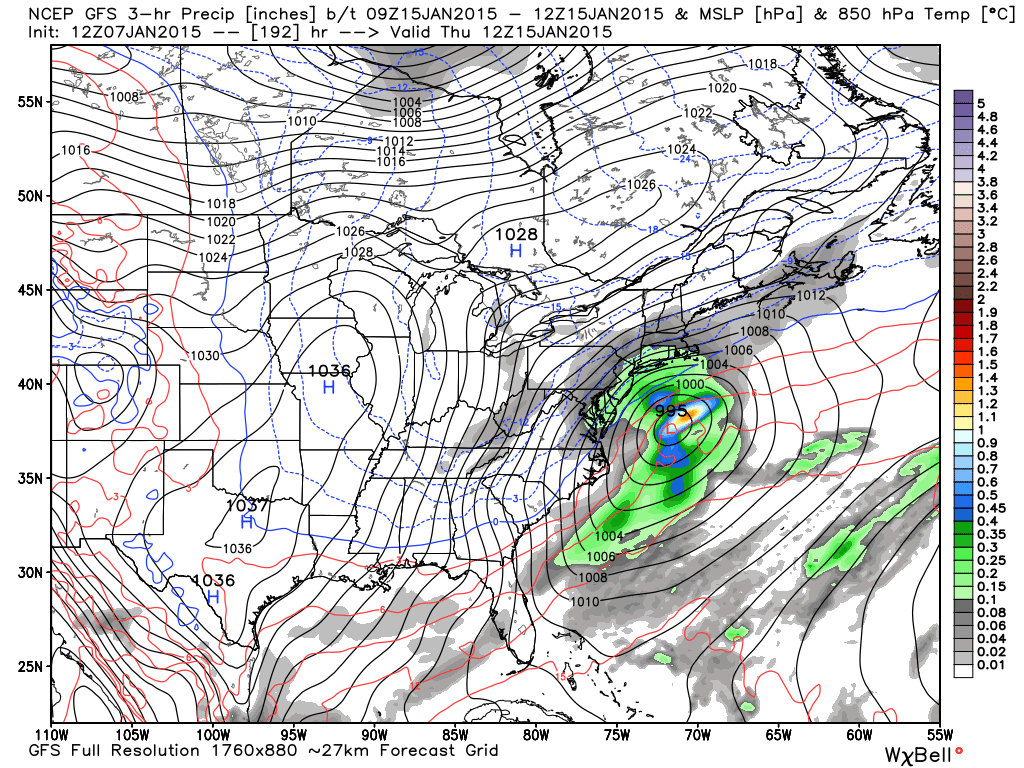
The entire Monday-Friday period of next week looks unsettled. Overall model guidance brings in an overrunning type event as early as Sunday-Monday which would likely be snow but with warmer temperatures approaching from the south. There could be a period of mixed precipitation including sleet and freezing rain during this first part of the week (moreso for CNJ/SNJ than NNJ). This could create a mess on the roads. Nothing much is showing for Tuesday-Wednesday aside from general unsettled conditions. Then a larger coastal storm is currently modeled for a decent hit on Thursday the 15th as seen here on the GFS.
In English: That’s where we’re at right now. The Friday morning snow is obviously in the shorter term with higher confidence. Next week is subject to many emotional model runs trending colder, warmer, snowier, wetter, etc. I’ll have a much better handle on it this weekend but for now...I’m still very interested in what the models are showing. Lets re-visit tomorrow. Be safe and stay warm! JC
Jonathan Carr (JC) is the founder and sole operator of Weather NJ, New Jersey’s largest independent weather reporting agency. Since 2010, Jonathan has provided weather safety discussion and forecasting services for New Jersey and surrounding areas through the web and social media. Originally branded as Severe NJ Weather (before 2014), Weather NJ is proud to bring you accurate and responsible forecast discussion ahead of high-stakes weather scenarios that impact this great garden state of ours. All Weather. All New Jersey.™ Be safe! JC


