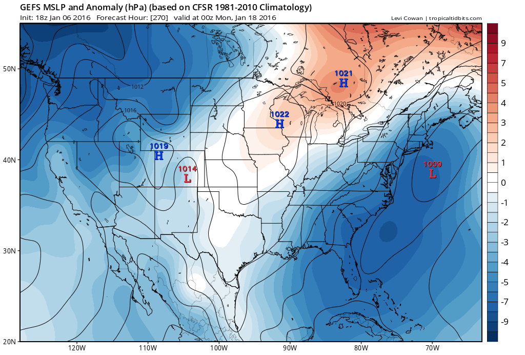
Temperatures will now moderate tomorrow through the weekend but Old Man Winter is set to return next week. We have a few low pressure disturbances modeled to roll through the E US this weekend but the temperature profile likely supports only rain for New Jersey. On Monday, a cold front should pass through and keep our region cold (cold enough for snow) for as far as I can see into January.
The general pattern (-EPO/+PNA/-AO/-NAO/MJO 7-8 + split flow) will remain favorable for winter storm development after next Monday but we still do not have a specific confident snow storm threat modeled for the east coast. The closest so far was the modeled storm for this Sunday-Monday but that has fizzled now that land-sampling has a better idea of the storm track, which is to our west. We need that low to track over OBX to the benchmark (40N/-70W) to get our snow storm. There have been several winter storm signals floating through guidance for ~Jan 13 and ~Jan 16 but nothing that has locked in any closer then 6 days out.
This is the kind of setup where something could pop up in the mid-range forecasting period and surprise us all. It’s also the kind of setup that could produce nothing and be a total waste of a good snow storm pattern. Either way, I’m going to keep it real for you without hype, wish-casting or bitter-casting. I know all of the snow-lovers (myself included) are starving but we have to be patient. Basically the cold is guaranteed. The snow is not (yet). We still need that optimal interaction between the northern and southern streams. We need timing.
In English: We will warm up slightly between tomorrow and Sunday with several periods of rainfall and possibly some wind. We’re not talking 70s like around Christmas but more like 50s. Monday-forward looks cold and favorable for winter storm development but nothing specific is showing just yet. I’ll let you know as soon as anything worthy pops up. It could be as soon as tonight’s 00Z guidance suite. I’ll be watching. For now…stay dry this weekend and warm next week. Be safe! JC
Jonathan Carr (JC) is the founder and sole operator of Weather NJ, New Jersey’s largest independent weather reporting agency. Since 2010, Jonathan has provided weather safety discussion and forecasting services for New Jersey and surrounding areas through the web and social media. Originally branded as Severe NJ Weather (before 2014), Weather NJ is proud to bring you accurate and responsible forecast discussion ahead of high-stakes weather scenarios that impact this great garden state of ours. All Weather. All New Jersey.™ Be safe! JC
