Jan 5: Light Wintry Event Detected

Discussion: An Arctic high will track from just W of the Great Lakes through OBX between now and Monday. As long as we’re on the front side of the high’s anti-cyclonic flow, there will be a NW jet of Arctic air. That should occur from now through Sunday and is the reason why we’re so cold.
Once the high jumps into the Atlantic Ocean by Sunday night/early-Monday, the cold flow will shut off and we’ll begin to warm on Monday. Warmer air associated with the back SW return flow of the high will advect into the low-mid levels of the region first, before the ground catches up. Some weak energy will be coming through from W to E which could provide just enough lift for light precipitation. Here lies the risk of approaching precipitation falling on surfaces that are still at or below freezing.
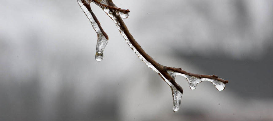
The precipitation is expected between Monday afternoon and early Tuesday AM. That window will likely narrow as we approach closer. Putting two and two together, precipitation will be moving quickly from W to E as temperatures warm from S to N. The line of freezing will only move so far to the north which will divide snow from rain within New Jersey. The icing would occur mostly under the line of freezing as it advances from S to N.
This typically sets up the scenario where NNJ sees a few inches of mostly snow, CNJ sees snow to ice to rain and SNJ sees a quick change to rain after a possible initial wintry burst of snow/ice. This event does not seem like a big deal as total precipitation is modeled light. Thank goodness because SENJ doesn’t need heavy rainfall right now. The most hazardous aspect of this light system will be the main icing zone which right now looks like the general CNJ area. Other lesser concerns will be the light accumulations that could fall for NNJ and the fact that SNJ could hold onto a colder ground given the recent snowfall.
In English: Things could get dicey between between Monday afternoon and early Tuesday AM. Right now it looks like light snow for NNJ, snow to ice to rain for CNJ and likely just rain for SNJ after a quick possible wintry start. SENJ would likely see all rain. It’s not a major event but this general idea will be fine tuned tomorrow with expected snow/ice amounts and a more precise timing. The good news is we moderate out of the ridiculous cold for the upcoming week. Have a great night and be safe! JC
Jonathan Carr (JC) is the founder and sole operator of Weather NJ, New Jersey’s largest independent weather reporting agency. Since 2010, Jonathan has provided weather safety discussion and forecasting services for New Jersey and surrounding areas through the web and social media. Originally branded as Severe NJ Weather (before 2014), Weather NJ is proud to bring you accurate and responsible forecast discussion ahead of high-stakes weather scenarios that impact this great garden state of ours. All Weather. All New Jersey.™ Be safe! JC


