Jan 29: Snow Map for Tomorrow Morning

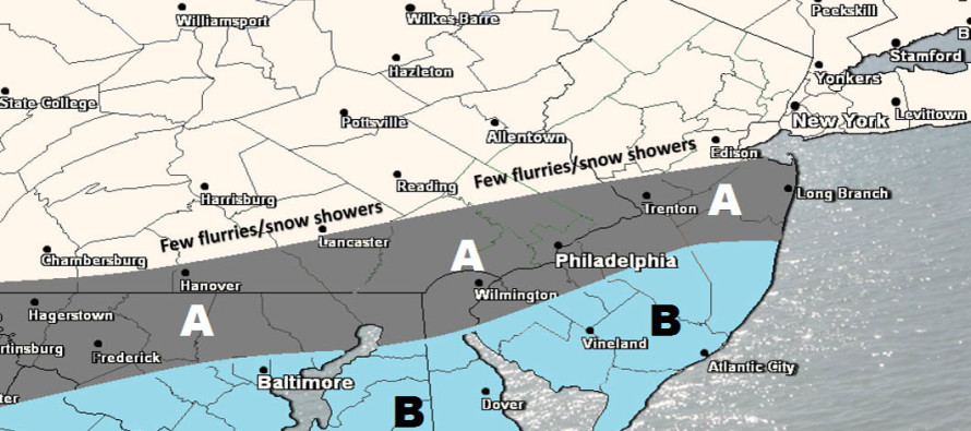
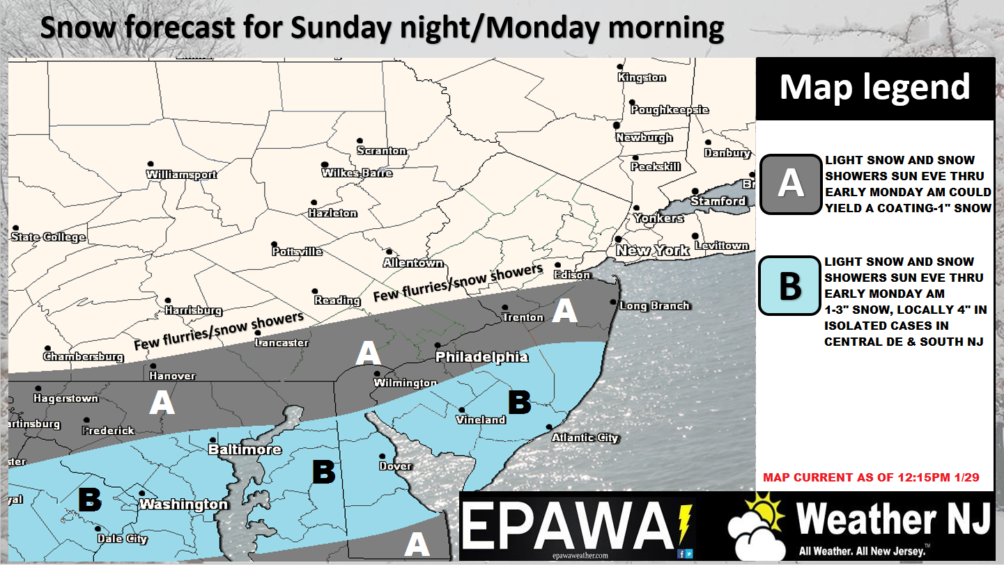
SNJ has snow on the way. Here’s the last prediction before live observations begin…
Click here for full resolution snow map.
Disco: It’s apparent, from looking at radar and other live obs data, that energy is rounding the trough and creating the best frontogenic forcing support over the Kentucky/West Virginia area. This is the energy that will eventually swing through Virginia, Maryland, Delaware and possibly some of S Pennsylvania before bringing frozen precipitation to parts of SNJ starting early tomorrow morning. There’s no reason why isolated/scattered snow showers cannot start before midnight. But the meat and potatoes of this event are tomorrow morning. A coastal surface low should eventually form off Delmarva early tomorrow and reinforce the precipitation shield over SNJ/SENJ before everything pulls away by late morning.
We then turn to another wave moving into the region for Tuesday which could compliment areas to the N and W unaffected by tomorrow morning’s disturbance. The overall larger storm signal is then still showing for Superbowl Sunday into Monday. Surface solutions are all over the place, as expected, and should not be taken seriously at this point. Let’s see how the ensemble suites treat the possibility over the next few days as energy approaches the W US from the Pacific.
The Kaboom hoodie store is open through Tuesday night (January 31). Purchase does not guarantee snow but will make a popular selfie 8) A portion of profits will be donated to the Conserve Wildlife Foundation of New Jersey to support the great work they do.
In English: The map above is straightforward and illustrates what to expect, starting as early as late tonight through late tomorrow morning. It’s a SENJ-favored light snow event. The Tuesday system could then bring light snow to all areas missed with this system. I’ll have analysis posted tomorrow on that. Then we continue to track the Superbowl Sunday into Monday larger wintry possibility. Be safe! JC
Jonathan Carr (JC) is the founder and sole operator of Weather NJ, New Jersey’s largest independent weather reporting agency. Since 2010, Jonathan has provided weather safety discussion and forecasting services for New Jersey and surrounding areas through the web and social media. Originally branded as Severe NJ Weather (before 2014), Weather NJ is proud to bring you accurate and responsible forecast discussion ahead of high-stakes weather scenarios that impact this great garden state of ours. All Weather. All New Jersey.™ Be safe! JC


