Jan 20: Major Snow Storm Signal for Weekend

I’ve been watching this thing on guidance since last week and it’s time to start talking about it. A strong piece of energy is going to dig southward from Colorado down into Texas, pick up a bunch of moisture, and turn up the coast into cold air. It’s a major snow storm signal that I’ll be paying close attention to this week. This storm was modeled way out to sea just a few days ago. The latest trend in model guidance has been a track further NW into the mid-Atlantic US.
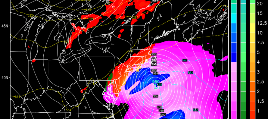
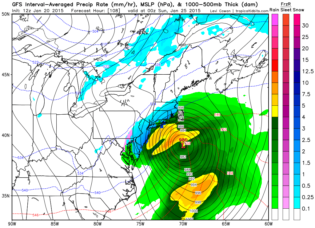
This is the latest GFS showing 850mb pressure, temp and precip for Saturday afternoon-evening.
In English: A major coastal snow storm is possible this weekend. The current window would be between Saturday and Sunday but that will adjust accordingly as we approach. I’ll be watching closely and will continue to break down the mid-range model guidance for you. No official forecasts or snow maps until probably Thursday. Be safe! JC
Jonathan Carr (JC) is the founder and sole operator of Weather NJ, New Jersey’s largest independent weather reporting agency. Since 2010, Jonathan has provided weather safety discussion and forecasting services for New Jersey and surrounding areas through the web and social media. Originally branded as Severe NJ Weather (before 2014), Weather NJ is proud to bring you accurate and responsible forecast discussion ahead of high-stakes weather scenarios that impact this great garden state of ours. All Weather. All New Jersey.™ Be safe! JC


