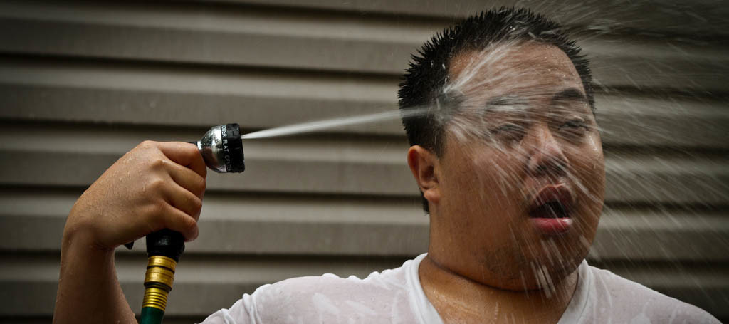
Tropical air mass will build over the region this weekend creating above-average temperatures and elevated humidity for most of NJ. We’re not looking at anything record breaking, but it will be hot. Let’s break it down:
Friday (July 22) high temperatures should reach into the 90s away from the ocean and mid-to-upper 80s along the coast. Heat indices should easily exceed 100 in many locations. Skies should be mostly sunny and possibly hazy however with this kind of heat and humidity, enough instability could form isolated showers and thunderstorms during afternoon-evening hours. Winds should be light out of the SW. Overnight lows should have trouble dipping below the 70s statewide. NNJ elevations might dip into the upper 60s.
Saturday (July 23) high temperatures should reach well into the 90s away from the ocean and possibly break 90 along the coast. Heat indices should remain high. Skies should be partly sunny and possibly hazy. Isolated afternoon-evening showers and thunderstorms are possible. Winds should be light out of the W/SW. Overnight lows should fall into the 70s for most and maybe into the 60s for NNJ elevations.
Sunday (July 24) high temperatures should reach into the 90s away from the ocean and mid-to-upper 80s along the coast. Heat indices should remain high. Skies should be mostly-to-partly sunny with again, the isolated shower/thunderstorm caveat for any hot and humid day like this. Winds should be light out of the W/NW. Overnight lows should fall into the 70s for most and maybe into the 60s for NNJ elevations.
Notes of Interest: I’m not confident enough to forecast 100+ for any specific location during this heat wave. It is possible however, especially for interior CNJ/SNJ along the I-95/I-295 region. I’m more confident in a range of 95-100 with Saturday having the best chance to flirt with reaching and/or breaking 100. Ocean surface temperatures are in the low-to-mid 70s for the northern half of the Jersey coast and right around 70 for the southern half. Average wave heights are expected through the weekend with general S/SE wave direction against the SW air flow. Star gazing conditions will be less than ideal due to hazy skies and light pollution from the late-rising waning gibbous moon.
An early look at next week indicates the heat and humidity lasting into possibly Thursday. Even though this heat wave is not expected to break records, it will provide harsh conditions for a prolonged period of time. Yesterday was the start a week-long heat wave for many. Please stay as hydrated and cool as you possibly can. Know the difference between heat exhaustion and heat stroke symptoms (Google it). Otherwise, have a great weekend and be safe! JC
Jonathan Carr (JC) is the founder and sole operator of Weather NJ, New Jersey’s largest independent weather reporting agency. Since 2010, Jonathan has provided weather safety discussion and forecasting services for New Jersey and surrounding areas through the web and social media. Originally branded as Severe NJ Weather (before 2014), Weather NJ is proud to bring you accurate and responsible forecast discussion ahead of high-stakes weather scenarios that impact this great garden state of ours. All Weather. All New Jersey.™ Be safe! JC
