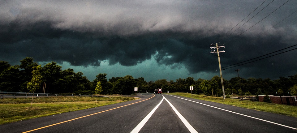
Thunderstorms are pushing through PA and are on the way to New Jersey. Let’s break it down…
The above image represents the severe threat assessment from the National Weather Service Storm Prediction Center. As you can see most of W NJ is in the SLGT (slight) area and extreme E NJ is only in the MRGL (marginal) risk category. This is because the storms are expected to weaken as they approach the coast. This line of storms however could still be pretty strong as it crosses the Delaware River when moving from PA into NJ. And even though they will be weaker when approaching the coast, they could still produce strong to severe winds and/or hail.
The following sounding from SE PA illustrates decent instability and wind dynamics. 1000+ j/kg of Mixed-Layer Convective Available Potential Energy (MLCAPE) is normally a sufficient amount to produce frequent lightning. Mid-level lapse rates of near 7 C/km suggest a very strong temperature gradient between the surface and aloft, further arguing how destabilized the region is. 60+ knots of wind shear from the sfc-8km tells me that wind reports will be plentiful. Here’s the sounding from the latest 12Z NAM:
In English: A line of thunderstorms is currently moving through PA and will move through NJ later today/this evening. I would expect this line of storms to reach W NJ by late-afternoon/early-evening and push through the coast by 8PM tonight. Therefore the overall period of storm possibility is about 4-9PM across NJ from W to E. However, the actual duration of heavy rain and storms will likely last no more than an hour or two as it moves from W to E. So to clarify…4-6PM for WNJ (strongest storms with most severe potential). 5-7PM for CNJ (storms weakening but still strong-to-severe) and 6-8PM for ENJ (weakest storms but still be strong). I would expect a period of moderate-to-heavy rainfall with severe winds and/or hail possible for all areas under the main storm line. It’s still pretty early in the season so lightning frequency is yet TBD most most should see at least a few boomers. If a tornado is going to spin up, it would likely be for points W but that is a small chance at this point. Heavy rain and damaging straight-line winds are likely the main forces of impact.
This kind of event is nothing new. We’ve seen this before (almost to the day last year). Just please have a plan to stay dry and possibly take shelter later today-tonight when the storms push through. Once again, the storms should be stronger for WNJ than ENJ. I’ll probably be chasing and will update with live radar observations accordingly. Have a great Saturday and please be safe! JC
Jonathan Carr (JC) is the founder and sole operator of Weather NJ, New Jersey’s largest independent weather reporting agency. Since 2010, Jonathan has provided weather safety discussion and forecasting services for New Jersey and surrounding areas through the web and social media. Originally branded as Severe NJ Weather (before 2014), Weather NJ is proud to bring you accurate and responsible forecast discussion ahead of high-stakes weather scenarios that impact this great garden state of ours. All Weather. All New Jersey.™ Be safe! JC
