Feb 11: Possible Ice Storm Detected

The most recent model guidance is indicating that a low pressure disturbance will form in the Texas area early Monday morning. It should then track through the SE US and turn up the east coast. It will grab a lot of moisture from the Gulf of Mexico and rapidly deepen when approaching our latitude. The storm should eventually bomb-diggity down into the 960s (millibars) in Canada. When passing over New Jersey, it should be transitioning from a 990mb to a 980mb. This is strong enough to produce high winds and both flash and coastal flooding.
The good news is that the low will be moving pretty fast. This is mostly due to a retreating area of high pressure in Canada. If we had an area of stubborn high pressure to the north of this thing, then we would be looking at a much slower and colder storm.
At the upper levels, the trough axis is modeled to go negative rather quickly. This is typical of a low track well inside the benchmark (40N/-70W) and even possibly over land. It simply cuts further W with the negative trough. So what does that mean for us?
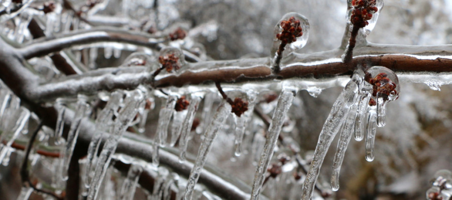
Well, we’re going to have a very cold air mass over New Jersey this Saturday and Sunday. Overnight temperatures are modeled below zero for NNJ and in the single-digits for SNJ. Highs fail to escape the teens on both days. Moisture and warmer air then move in on Monday into Tuesday with precipitation. The warmer air will want to move in at the mid-levels of the atmosphere first. The ground will be the last area to warm. With that said, this should create a geographic region of land with the surface below freezing and the air above freezing while precipitation falling through. This is a recipe for an ice storm period (either rain freezing just before hitting the surface as sleet or rain freezing after hitting the surface as freezing rain).
So there should be 3 parts to this storm. The first part will be initial over-running precipitation moving into the bitter cold air mass. This will likely result as snow. Traditionally, NNJ sees more initial snow than SNJ in this kind of setup. It could be a few hours of snow thumping. It could just be a quick burst. The second part of the storm is when the warmer air moves into the mid levels. This will change snow to ice and then ice to rain as the warm front pushes through New Jersey from S to N. This period of icing should range from shortest in SNJ to longest in NNJ. CNJ, somewhere in between. The third part of this system will be when the low gets close. We will likely be all rain with higher winds until the storm pulls away to the north.
Once the storm moves north and away into Canada by Tuesday night, back end flurries are possible as we dry out with stiff W/NW winds. The rest of the week actually looks to moderate in temperatures.
In English: Flizzards and accumulating snow showers are possible tomorrow with generally cold temperatures. Saturday and Sunday should feature pipe-breaking baby-making bitter cold so make any preparations for such now. Monday should return to just generally cold as we watch the storm approach from our SW. Tuesday is starting to look like a snow to ice to rain event. I’ll be tracking the low through this weekend as it will ultimately determine the duration/break down of snow vs ice vs rain. If the low is further west, then we’ll see more rain than anything. If the low’s track is right over New Jersey or along the coast then the icing potential as well as coastal flooding will be maximized. If out to sea then it could mean more snow to start than ice or rain. No matter what, I think we are all looking at a period of icing. Most of us should end in rain but by the time that happens, the wintry disruption will have already taken place. Have a great night and be safe! JC
Jonathan Carr (JC) is the founder and sole operator of Weather NJ, New Jersey’s largest independent weather reporting agency. Since 2010, Jonathan has provided weather safety discussion and forecasting services for New Jersey and surrounding areas through the web and social media. Originally branded as Severe NJ Weather (before 2014), Weather NJ is proud to bring you accurate and responsible forecast discussion ahead of high-stakes weather scenarios that impact this great garden state of ours. All Weather. All New Jersey.™ Be safe! JC


