Dreary Week Expected (Oct 20-24)

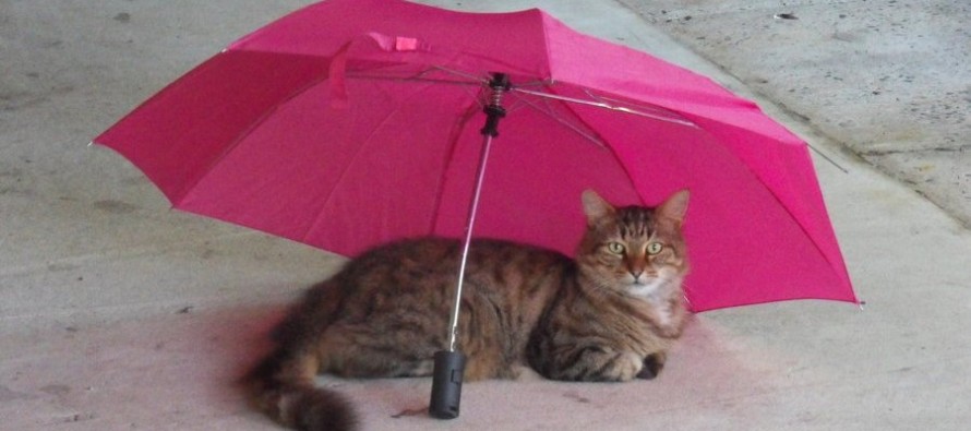
Clouds cover will begin increasing today as a low pressure disturbance moves in from the NW and eventually forms a weak coastal storm. While some rainfall could actually start this evening, most of it will fall between Tuesday and Thursday. It’s really more of a nuisance event than anything else. Everything should start drying out Thursday night into Friday as NW winds usher in dry Canadian air. The weekend is looking pretty good at this point, especially for the charity event I’ll be participating in called Zombie Outbreak in Ocean County 8)
Monday should reach the upper 50s/lower 60s with again, increasing cloud cover as the day progresses. Winds will be light out of the SW and overnight lows should fall to the upper 40s/lower 50s. Light showers are possible after sunset.
Tuesday should be mostly cloudy with on-and-off rain showers. Winds should remain light out of the SW. Overnight lows should drop to about 50 with continued rain expected.
Wednesday should reach the upper 50s/lower 60s as the coastal storm begins to form. Expect mostly cloudy skies with more on-and-off rain and 10-15mph winds out of the N (gusts to 25mph). Overnight lows then fall into the 40s statewide.
Thursday will be another day of coastal storm influence. Highs will top out around 60 statewide with more on-and-off rain and 10-15mph NW winds (gusts to 25mph). Overnight lows should fall to the mid-to-upper 40w statewide. Precipitation will taper off but winds will remain. That will help dry things out for the weekend.
Friday should feature the return of sunshine with highs in the lower 60s statewide. Expect 5-10mph winds out of the NW (gusts to 15mph). Overnight lows should dip well into the 40s as NW winds begin to subside. Saturday looks sunny and breezy but the night looks calm. With the new moon this weekend, it’s perfect weather for hayrides and haunts. I see mostly sunny days and seasonably average temperatures well into next week.
This Monday-Friday Outlook is proudly powered and sponsored by weathertrends360 (www.weathertrends360.com). Through 150 years of world wide weather data analysis, weathertrends360 has developed proprietary algorithms and methods that predict weather up to a year with 84% accuracy. They are second to none in the long range so check them out for business planning, travel planning, etc.
Be safe and have a great week! JC
Jonathan Carr (JC) is the founder and sole operator of Weather NJ, New Jersey’s largest independent weather reporting agency. Since 2010, Jonathan has provided weather safety discussion and forecasting services for New Jersey and surrounding areas through the web and social media. Originally branded as Severe NJ Weather (before 2014), Weather NJ is proud to bring you accurate and responsible forecast discussion ahead of high-stakes weather scenarios that impact this great garden state of ours. All Weather. All New Jersey.™ Be safe! JC


