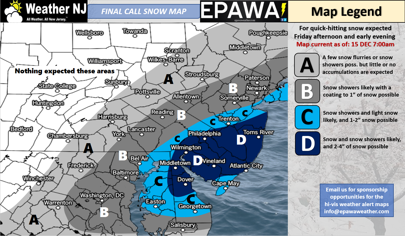
Dec 15: Snow Map for Today


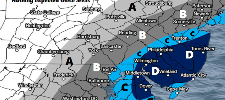
Click here to see full resolution snow map!
Discussion: A strong 250mb jet streak is howling from W to E over the OBX area. 500mb height anomalies are below average over the E US as several weak shortwaves couple up under this jet. This will be enough to enhance the development of the coastal low as it tracks from the OBX area to the SE of the 40N/70W benchmark. It is a progressive setup meaning a quick-mover however it could pack a quick punch of accumulations, especially for SNJ.
As far as timing goes, I would expect snow to move into NJ between early and late afternoon before ending by about 9PM. All of the automated forecasts out there are suggesting temperatures climbing into the 30s during some of this time, especially for extreme SNJ/SENJ which is why we have Cape May in a slightly less category. We feel however that precipitation rates and the general setup could keep most of SNJ below freezing. Where am I going with this? Road stickage could possibly be inhibited some during peak daylight temperatures, especially when precipitation begins in the afternoon. Once you get away from the ocean a bit, this should be less of an issue meaning more road stickage.
Wildcard: Should mesobands form in the blue areas across SNJ then some areas would slightly over-perform while areas just adjacent under-perform. For example…in the 2-4 inch area, a mesoband could put down 3-6 while areas to the NW and/or SE of the mesoband only see 1-3. Otherwise if no mesobands then our map is the most rational and reasonable science-based anticipation.
In English: Another light snow event is expected today. The above map represents our expectations between 2PM and 9PM today as snowfall begins and ends from W to E. Interior SNJ should see the jackpot accumulations while the immediate coast (especially extreme SENJ) see a tad bit less. Have a great day and please be safe! JC
For comprehensive and interactive hyper-local analysis that goes way above and beyond the detail of this public forecast, check out our premium services.
Jonathan Carr (JC) is the founder and sole operator of Weather NJ, New Jersey’s largest independent weather reporting agency. Since 2010, Jonathan has provided weather safety discussion and forecasting services for New Jersey and surrounding areas through the web and social media. Originally branded as Severe NJ Weather (before 2014), Weather NJ is proud to bring you accurate and responsible forecast discussion ahead of high-stakes weather scenarios that impact this great garden state of ours. All Weather. All New Jersey.™ Be safe! JC


