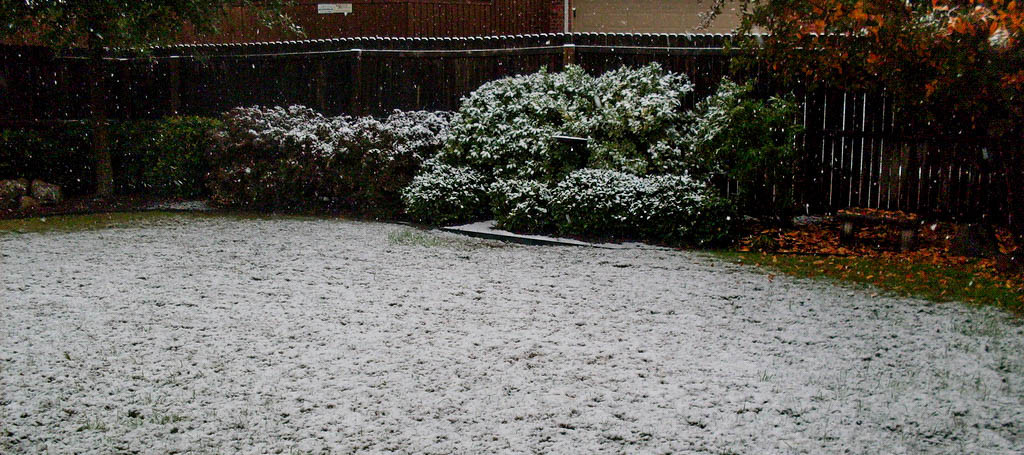
A very cold air mass moves in tonight. Light snow is possible on the front of the front lol…8/ Allow myself to introduce…myself.
Short range model guidance is in pretty decent agreement on light snow for most of New Jersey overnight tonight between midnight and 5AM. It’s only a conversational event and hardly map-worthy. However, some areas (especially SE of the I-95 corridor) who have not yet seen snow on the ground might see some when they wake up tomorrow. Model guidance is actually favoring SNJ over NNJ on this one. Accumulations would be held to the light side if any.
Here’s some supporting short-range model guidance from the NAM, HRRR and RGEM…
The RGEM is less enthused than the NAM and HRRR so let’s talk about some basic meteorology. Most of this possible light snow tonight will be attributed to a weak piece of energy moving along the Arctic front…just enough to touch off the precipitation. This, combined with the Arctic cold frontal trigger itself, suggests enough overall energy and lifting to make light snow happen.
Also, note that the Great Lakes still have surface temperatures well-above freezing. These next few Arctic air masses over the next week might change that some but these next few days occur before that. Therefore, the current difference between the warmer surface of the lakes and the temperatures at the higher level of the W/NW Arctic jet (850mb and up) should aid in destabilizing the region to the E/SE of the lakes. This weak instability (doesn’t take much this time of year) should, in theory, power some decent lake-effect snow showers and squalls Thursday into Friday morning which could reach into New Jersey. Just another light snow possibility to watch before the bigger event on Saturday morning.
In English: Light snow is possible overnight tonight statewide with SNJ slightly favored over NNJ for final trace-to-light accumulations. A conversational event in comparison to the real story which is the dangerously cold air mass moving in for Thursday and Friday.
Scattered flurries and snow showers are then possible Thursday into Friday if any squalls or streamers make it to the coast. This would be for the first half of the cold blase when winds are strong/gusty out of the NW. Therefore NWNJ would be favored over SENJ for such.
Hyper-local MPM alerts will go out this afternoon with regard to Saturday morning’s wintry thump possibility. I’ll have an article out tonight that will speak to model trends and live observations. We’re not prepared to release a detailed snow map until tomorrow but for now, just know that the confidence is increasing in Saturday AM wintry trouble. Have a great Wednesday and be safe! JC
Jonathan Carr (JC) is the founder and sole operator of Weather NJ, New Jersey’s largest independent weather reporting agency. Since 2010, Jonathan has provided weather safety discussion and forecasting services for New Jersey and surrounding areas through the web and social media. Originally branded as Severe NJ Weather (before 2014), Weather NJ is proud to bring you accurate and responsible forecast discussion ahead of high-stakes weather scenarios that impact this great garden state of ours. All Weather. All New Jersey.™ Be safe! JC
