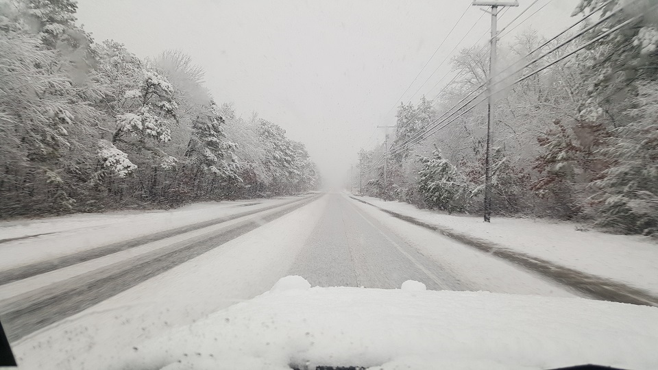
Yet another system with wintry potential for parts of New Jersey will move through tomorrow into Monday. Let’s break it down…
Departing high pressure and low pressure tracking through the Great Lakes will attempt to drive warmer southerly flow into the cold air mass currently over our region. With that said, this is eventually looking like a snow to rain situation for many. Accumulations however are possible before the changeover, especially for points N and W. We’re looking at two areas of precipitation…lighter stuff earlier Sunday then heavier stuff later in the evening and overnight into Monday. Eastern PA Weather Authority and Weather NJ have collaborated on the following impact map:
Click here to view snow map in full-resolution!
In English: We should remain cold overnight and into tomorrow morning. The PM hours of tomorrow are another situation where NWNJ is favored for snow and SENJ is favored for cold rain. The first batch of precipitation should be colder in the form of flurries and snow showers. Then we should see a lull. The second area of precipitaton should then move in later in the afternoon/evening and last overnight. The snow/rain line has been narrowing in to the I-78 region of New Jersey. That’s not to say that areas S of this line cannot start as snow before changing to rain. And that’s not to say that areas N cannot ultimately end as rain. But when all is said and done, we feel the above snow map represents the final outcome at the surface. Everyone have a great Saturday night and please be safe! JC
Jonathan Carr (JC) is the founder and sole operator of Weather NJ, New Jersey’s largest independent weather reporting agency. Since 2010, Jonathan has provided weather safety discussion and forecasting services for New Jersey and surrounding areas through the web and social media. Originally branded as Severe NJ Weather (before 2014), Weather NJ is proud to bring you accurate and responsible forecast discussion ahead of high-stakes weather scenarios that impact this great garden state of ours. All Weather. All New Jersey.™ Be safe! JC
