Cooler Comfortable Week Expected (Sept 21-25)

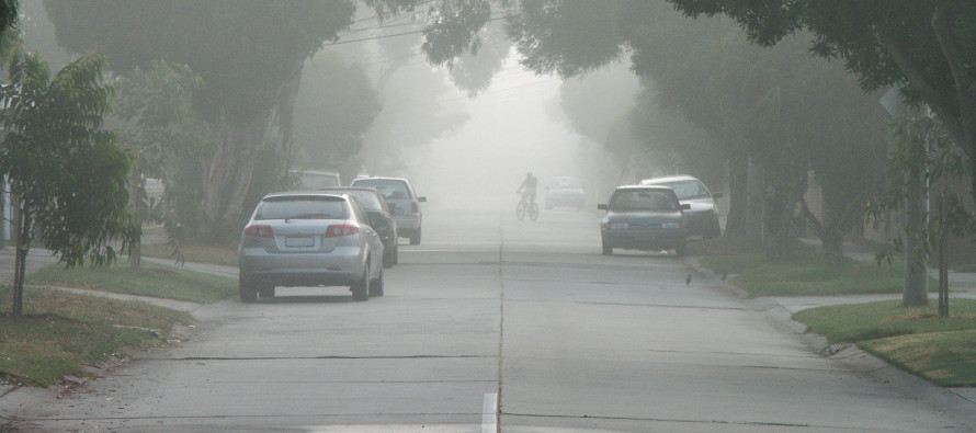
A pesky low pressure disturbance will slowly crawl up the east coast and contribute to a period of onshore flow this week. SNJ has the best chance to see any rainfall from the northern side of the system. I wouldn’t hold your breath as it would only be a light nuisance if anything at all. Please watch out for early AM fog on any morning this week. With ocean surface temperatures remaining well above air temperatures overnight, it’s a classic recipe. Let’s break it down.
Monday high temperatures should top out in the upper-60s (interior/elevations) and lower-70s (rest of New Jersey). Skies should be mostly cloudy with SNJ having a small chance of light rain. Winds should be light out of the E/NE for most but stiff out of the E/NE for coastal regions. Gusts to 20mph along the shore are likely. Overnight lows should range from 40s (NWNJ) to lower-60s (SENJ).
Tuesday high temperatures should reach the low-to-mid 70s. Skies should feature a mixed bag of sun and clouds with SNJ having a small chance of light rain. Winds should be light out of the NE for most but stiff out of the NE for coastal regions. Gusts to 20mph along the shore are likely. Overnight lows should range from 40s (NWNJ) to lower-60s (SENJ).
Wednesday high temperatures should reach the mid-to-upper 70s. Skies should be mostly sunny. Winds should be lighter out of the N/NE but still breezy along the coast. Overnight lows should range from 40s (NWNJ) to lower-60s (SENJ).
Thursday high temperatures should reach the mid-to-upper 70s. Skies should be mostly sunny. Winds should be stiff out of the NE, especially for coastal regions. Gusts to 25mph along the shore are possible. Overnight lows should range from 50s (NWNJ) to lower-60s (SENJ).
Friday high temperatures should reach the mid-70s. Skies should feature both sun and clouds with SNJ having a small chance of light rain. Winds should be breezy out of the E/NE with gusts to 25mph possible, especially along the coast (less felt inland). Overnight lows should range from 40s (NWNJ) to lower-60s (SENJ).
An early look at the weekend indicates that the cool, breezy and comfortable feel continues with mixed sun and clouds.
This Monday-Friday outlook is proudly sponsored by weathertrends360 (www.weathertrends360.com). Through 150 years of world wide weather data analysis, weathertrends360 has developed proprietary algorithms and methods that predict weather up to a year with 84% accuracy. They are second to none in the long range so check them out for business planning, travel planning, etc. Also check out their free txt and email alerts!
Be safe and have a great week! JC
Jonathan Carr (JC) is the founder and sole operator of Weather NJ, New Jersey’s largest independent weather reporting agency. Since 2010, Jonathan has provided weather safety discussion and forecasting services for New Jersey and surrounding areas through the web and social media. Originally branded as Severe NJ Weather (before 2014), Weather NJ is proud to bring you accurate and responsible forecast discussion ahead of high-stakes weather scenarios that impact this great garden state of ours. All Weather. All New Jersey.™ Be safe! JC


