Conditions should improve for the weekend once the rain moves out. Let’s break it down…
Disco: Low pressure is currently tracking over Ohio which is stacked and closed-off from the surface up through 500mb. This area of low pressure will pass over PA and NJ between this evening and early tomorrow morning. The heaviest rainfall is yet to come this afternoon-evening when the low is just to the W of New Jersey. This heavier band of precipitation has the best chance to feature embedded thunderstorms. Winds could be gusty with this but nothing too crazy. Steady precipitation should cut-off around midnight tonight (give or take a few hours either way). Let’s then allow a chance for remnant showers to last until about 7AM on Saturday. With any luck skies could clear by late Saturday morning but I wouldn’t be surprised to see clouds linger into the early afternoon. From that point forward, New Jersey should see a dry and clear Saturday afternoon through Sunday. The back edge of a trough will move through New Jersey throughout the weekend. This should prevent temperatures from spiking into the “too warm for this time of year” territory. I imagine it will feel pretty nice in the sun during daytime hours Saturday afternoon and all of Sunday. Overnight hours however should still become chilly. Such conditions should bleed into early next week but we could warm up for Tuesday with more rain and thunderstorms. Let’s take a closer look at that on Sunday.
Friday (Mar 31) high temperatures should reach into the 40s/50s statewide. Skies should be mostly cloudy. Rainfall, heavy at times, is possible along with embedded thunderstorms. Winds should be breezy out of the ESE (gusty along the coast). Minor-to-moderate coastal flooding is possible tonight through Saturday night (run-of-mill for areas that normally see water in the streets)—especially for areas that see the heaviest rainfall. Monitor the National Weather Service for Flood Advisories, Watches and Warnings. Overnight lows should fall into the upper-30s/lower-40s as rain tapers off around midnight-forward.
Saturday (Mar 31) high temperatures should reach into the upper-40s for interior locations and elevations. SNJ and CNJ should break into the 50s. Rain should end by sunrise but clouds could linger into the early afternoon. Once the skies clear, the sun should feel great despite a slight chill to the air. Winds should be light out of the N. Overnight lows should fall into the 30s for most.
Sunday (Mar 31) high temperatures should reach into the 50s statewide with a small chance of 60s for parts of CNJ and SNJ. Skies should be mostly sunny. This should be the best day of the weekend. Winds should be light out of the NW. Overnight lows should fall into the 30s/40s statewide.
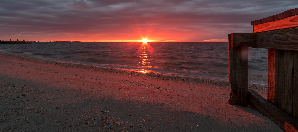
An early look at next week indicates more 50s and 60s with sunshine for most of the week. Tuesday is the only day that seems problematic with more widespread rainfall and thunderstorms possible. Let’s revisit on Sunday evening. I took the above cover photo last year from Surf City, NJ on Long Beach Island. Everyone have a great weekend and please be safe! JC
Jonathan Carr (JC) is the founder and sole operator of Weather NJ, New Jersey’s largest independent weather reporting agency. Since 2010, Jonathan has provided weather safety discussion and forecasting services for New Jersey and surrounding areas through the web and social media. Originally branded as Severe NJ Weather (before 2014), Weather NJ is proud to bring you accurate and responsible forecast discussion ahead of high-stakes weather scenarios that impact this great garden state of ours. All Weather. All New Jersey.™ Be safe! JC
