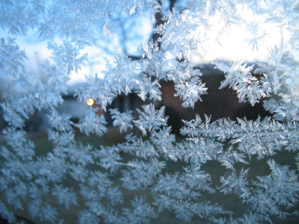
Another cold shot is expected for most of the weekend. Let’s break it down…
Nerdy Disco: High pressure will drop out of south-central Canada and move through the Ohio Valley region before moving out to sea over OBX. This will put New Jersey and surrounding areas subject to colder northerly flow (front/E of anti-cyclonic flow) between Friday afternoon and early Sunday AM. We could see a bit of moderation on Sunday as winds become more westerly—tapping a milder airmass. After that, we’ll likely continue the see-sawing of temperatures as the atmpsheric profile overall decends in daily average temperature. The cold shots should become more intense with longer duration as periods of moderation become more and more transient. We’re still looking pretty cold to end November heading into December but fall should have a few “last grasps.”
You can interact with us in our premium forum where we think out loud and strategize the very thoughts used for our public articles such as these by clicking the My Pocket Meteorologist image below. We also now offer highly-localized text notification services for snow removal companies, outdoor business, safety insurance policies, severe weather enthusiasts or anyone else who absolutely needs hyper-local active weather alerts pushed directly to their phone…
Friday (Nov 11) high temperatures should at least reach into the 50s for most. I’m a little skeptical about breaking 60 given the expected inbound airmass from the NW but I suppose it’s possible for SNJ/SENJ. NWNJ should top out the lowest. Skies should feature a mixed-bag of sun and clouds. Winds should be breezy, and occasionally gusty, out of the W. Overnight lows should fall into the teens for NNJ elevations and 20s for mostly everyone else. It is possible the immedate coast and parts of SNJ hang in the lower-30s.
Saturday (Nov 12) high temperatures should have trouble escaping the 40s statewide. Skies should be mostly sunny. Winds should be breezy-to-gusty out of the NW. Overnight lows should fall below freezing for the entire state. Im not sure whether NNJ elevations will dip into the teens again but at least down into the lower-20s.
Sunday (Nov 13) high temperatures should reach into the 50s statewide. There’s a small chance of breaking 60 for SNJ/SENJ. Skies should be mostly sunny. Winds should be light-to-breezy out of the W/SW. Overnight lows should fall into the 20s for NNJ elevations and 30s for the rest of the state.
An early look at next week indicates some possible rain on Tuesday. Otherwise afternoon high temps should top out in the mid-to-upper 50s while overnight lows drop into the 30s/40s. Let’s revisit on Sunday evening. Otherwise everyone have a great weekend and please be safe! JC
Jonathan Carr (JC) is the founder and sole operator of Weather NJ, New Jersey’s largest independent weather reporting agency. Since 2010, Jonathan has provided weather safety discussion and forecasting services for New Jersey and surrounding areas through the web and social media. Originally branded as Severe NJ Weather (before 2014), Weather NJ is proud to bring you accurate and responsible forecast discussion ahead of high-stakes weather scenarios that impact this great garden state of ours. All Weather. All New Jersey.™ Be safe! JC
