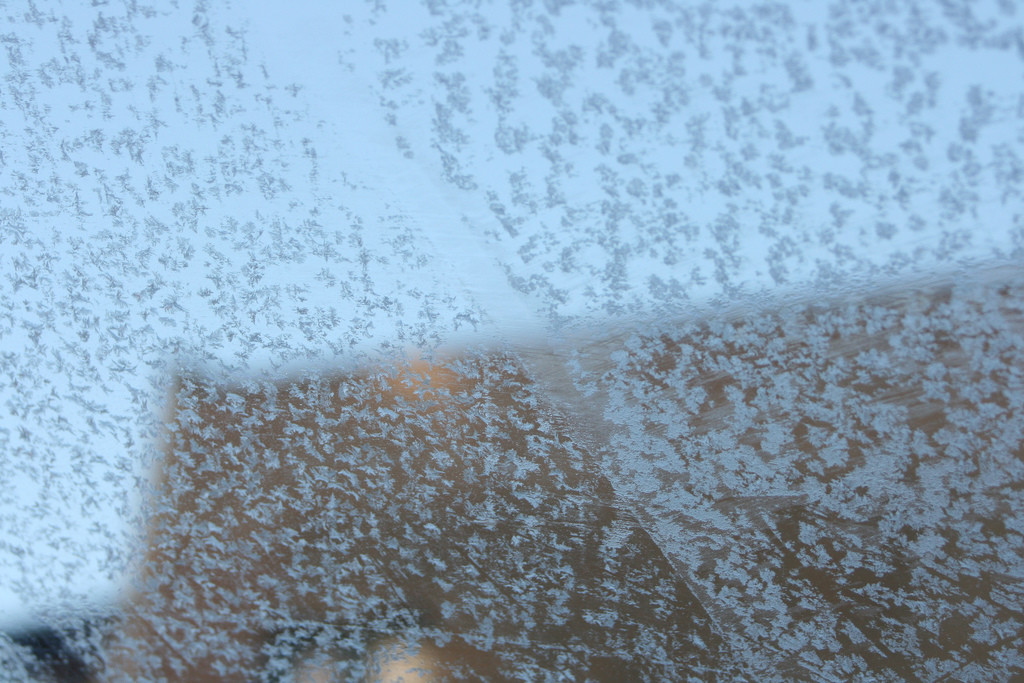
Keep those jackets and blankets out. Here comes another shot of colder air from the north…
Nerdy Disco: Ridging in the central Northern US should keep the trough digging over the Mid-Atlantic and Northeast US through about Wednesday at the upper levels. A late northern-stream shortwave should then pop near the Great Lakes and swing through our region Thursday into Friday morning. This shortwave would re-enfoce lower heights over our region and continue the cooler/colder trend. The only precipitation shot appears to be with said Thursday shortwave. Otherwise, we should stay dry with northerly flow for the rest of the week. Another shortwave is modeled for Saturday PM hours but precipitation chances appear weaker. Will have to re-visit mid-week.
You can interact with myself and EPAWA meteorologists in our premium forum where we think out loud and strategize the very thoughts used for our public articles such as these by clicking the My Pocket Meteorologist image below. We also now offer highly-localized text notification services for snow removal companies, outdoor business, safety insurance policies, severe weather enthusiasts or anyone else who absolutely needs hyper-local active weather alerts pushed directly to their phone…
Monday (Oct 24) high temperatures should just reach into the lower-60s statewide. Skies should feature a mixed bag of sun and clouds. Winds should be breezy to gusty out of the NW. Overnight lows should fall into at least the 40s with 30s possible (frosts) for many interior locations. NNJ elevations could be looking at a freeze.
Tuesday(Oct 25) high temperatures should just get into the 50s statewide. Skies should be mostly sunny. Winds should be light out of the NW. Overnight lows should fall into the 20s for NNJ elevations and some interior locations. The rest of the state should at least fall into the 30s. Another night of frosts and freezes.
Wednesday (Oct 26) high temperatures should struggle to break 50 statewide. SNJ and immediate coastal regions have the best chance. NNJ elevations and interior locations might be held to the 40s for highs. Skies should be mostly sunny. Winds should be light out of the N/NW. Overnight lows should fall into the 30s for most with NNJ elevations possibly dipping into the 20s. Another night of frosts and freezes. Wouldn’t be surprised to see a few flurries in NNJ elevations if precipitation moves in earlier than midnight.
Thursday (Oct 27) high temperatures should range from upper-40s in extreme NNJ to lower-60s along the coast/SNJ. Skies should be mostly cloudy with periods of rain likely. Only the higher elevations of NNJ have the chance to see some wet snow mixed into the rain. The best chance for this is at the onset of precipitation early in the AM hours. Otherwise this should be cold rain for most. Winds should be light-to-breezy out of the S/SW. Overnight lows should fall into the 40s and 50s statewide.
Friday (Oct 28) high temperatures should reach the mid-to-upper 50s statewide. Perhaps a few locations break 60. Precipitation is expected to end by Friday morning so eventually skies should feature a mixed bag of sun and clouds. Winds should be breezy-to-gusty out of the W/NW. Overnight lows should fall into the 40s for most with NNJ elevations possibly dipping into the 30s.
An early look at the weekend indicates a possible period of rain on Saturday. Model guidance has been backing off a little each run with weaker and weaker precipitation. If all goes well, it could be a mostly dry frontal passage but we’ll have to wait until Tuesday night/Wednesday morning to be sure. Everyone have a great week and please be safe! JC
Jonathan Carr (JC) is the founder and sole operator of Weather NJ, New Jersey’s largest independent weather reporting agency. Since 2010, Jonathan has provided weather safety discussion and forecasting services for New Jersey and surrounding areas through the web and social media. Originally branded as Severe NJ Weather (before 2014), Weather NJ is proud to bring you accurate and responsible forecast discussion ahead of high-stakes weather scenarios that impact this great garden state of ours. All Weather. All New Jersey.™ Be safe! JC
