Cold Start to the Week (Jan 9-13)

The week starts cold but we’ll eventually moderate. Let’s break it down…
Disco: We’re currently in the heart of trough filled with Arctic-infused air. This will keep us brutally cold through about Tuesday morning. A stronger than average (1040mb+) area of high pressure is responsible for reinforcing and pulling down the cold air in front of its anti-cyclonic flow. The high will then pass over us and head out into the Atlantic Ocean. It should set up and park near/just N of Bermuda under the SE ridge until about the January 19-20 period. This should generate milder return flow into New Jersey from the S. There is one transient period within those 10 days (~Jan 15) where high pressure could pass to the N of New Jersey and suppress just enough cold air to make something wintry happen. The timing of the jet streams would have to work out perfectly however and “thread the needle” situations rarely do. The more rational expectation is a poorly-timed solution that separates the cold/dry air from the warmer and wetter rain. Let’s revisit this mid-week though as it’s still very early. For now, it’s a cold start to the week, some precip Tuesday night into Wednesday morning followed by a surge of mild conditions Wednesday into whatever happens next weekend. We’ll likely return to milder conditions afterwards making the ~Jan 15th possibility the only wintry possibility within the Jan 12-20+ overall mild period.
Overnight lows tonight will be dangerously cold. The elevations of NWNJ could take a run at below-zero temperatures but should at least fall into the single digits. The rest of New Jersey should easily fall into the single digits with only the immediate coast hanging in the teens. Breezy NW winds will make it feel even colder. Most of the night should be clear and moonlit but occasional snow showers are possible from the strong NW flow over the Great Lakes.
Monday (Jan 9) high temperatures should fail to escape the 20s statewide. Skies should feature a mixed bag of sun and clouds. Winds should eventually work their way to being light out of the SW which will start to reverse the cold. Overnight lows should fall into the single digits/teens for NWNJ elevations and teens/20s for the rest of New Jersey.
Tuesday (Jan 10) high temperatures should reach into the 30s and possibly break 40 for the lower 2/3 of New Jersey. This should feel mild after the recent air mass. Skies should be mostly cloudy. Winds should be light out of the S. Overnight lows should fall into the 20s for NWNJ elevations and 30s for the rest of New Jersey. Approaching precipitation from the west could start out wintry but will eventually change over to rain for all areas. NWNJ has the best chance for wintry impact (primarily freezing rain moreso than snow). The lower 2/3 of New Jersey should change over more quickly.
Wednesday (Jan 11) high temperatures should reach well into the 40s and possibly even 50s for lower elevations and the coast. Most rain should end between late-morning and early-afternoon, giving way to mostly cloudy but dry skies. Winds should be light out of the S/SW. Overnight lows should fall into the 30s/40s statewide.
Thursday (Jan 12) high temperatures should reach into the 50s for most with 60 even possible. Sounds like a fog recipe to me. Skies should remain mostly cloudy and mild with a chance of scattered rain showers. Winds should remain light out of the S/SW. Overnight lows should fall into the 40s statewide.
Friday (Jan 13) high temperatures should again reach into the 50s for most 60 not off the table. Again, watch out for fog. Skies should remain mostly cloudy and mild with more chances for scattered rain showers. Winds should be light out of the N/NW. Overnight lows should fall into the 30s for most with NWNJ elevations falling into the 20s.
An early look at the weekend indicates unsettled conditions. If everything times perfectly then we could be looking at a wintry event. If not then just a colder weekend sandwiched between the mild and wet overall pattern. Let’s revisit mid-week. Everyone have a great week and please be safe! JC
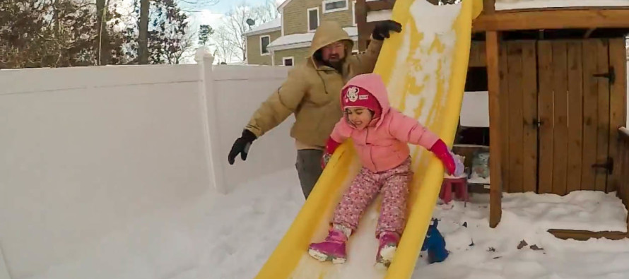
Image Credit: My good friend Jack Gamble and my God Daughter Daniella Gamble.
Jonathan Carr (JC) is the founder and sole operator of Weather NJ, New Jersey’s largest independent weather reporting agency. Since 2010, Jonathan has provided weather safety discussion and forecasting services for New Jersey and surrounding areas through the web and social media. Originally branded as Severe NJ Weather (before 2014), Weather NJ is proud to bring you accurate and responsible forecast discussion ahead of high-stakes weather scenarios that impact this great garden state of ours. All Weather. All New Jersey.™ Be safe! JC


