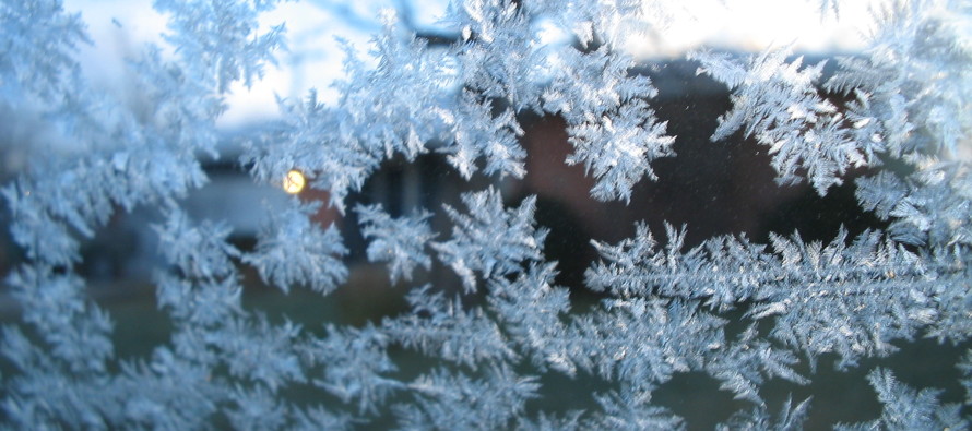
Cold and Clear (Jan 9-10)

Discussion: So that everyone is on the same page, an extremely favorable pattern supportive of winter storm development can come and go without any snowstorms actually hitting NJ. These lyrics probably belong in an Alanis Morissette song or something, but it can happen. To further clarify, I am not currently forecasting any snowstorms for NJ. I am continuing to monitor and track signals within a favorable pattern. I tracked a storm signal for yesterday (Friday) that never came to fruition. The storm happened but missed to the S of NJ. I am tracking a system Tuesday-Wednesday (Jan 12-13). As of now Jan 12-13 looks either light or another miss to the S based on the last 24 hours of model guidance. Therefore, if you are here for a concrete “is it going to snow soon?” you can probably stop reading and enjoy the noneventful chilly weekend. You’ll know when I transition from “just tracking” to “it’s coming” when I change my social media profile and cover images. That’s when I commit and buy into a winter storm impacting NJ.
For this weekend we’ll have below-average geopotential height anomalies around with NW flow. This will keep it colder despite being slightly above average for January (which is still cold). Highs near-40 for a few daylight hours and then below freezing statewide overnight type stuff. I expect such conditions to last until Tuesday when we arrive at the next storm signal. As I said above, most models either have a weak strung out area of precipitation over NJ or miss to the S/SE. Both yesterday’s and the Tuesday-Wednesday storm signals were modeled much stronger in the long and mid-range forecasting periods than in the short-range. The best thing we can do for now is apply that recent past-performance to the near future and not get excited about anything unless it’s really strongly modeled inside day 5. And that’s for storms systems not for longer more confident parameters like temperature only. As far as temperatures go, the cold is still strongly expected, not just by models but by stratospheric/polar live observation. I still expect the really cold stuff to show up around January 17 with the active pattern (an east coast low) showing up every 4-5 days. For now patience is required. I’ll only update for Tuesday-Wednesday if there is a drastic shift back to something snowier. Otherwise you might just see a chance of snow showers in the Monday-Friday outlook for that period. Plenty of winter left. In the baseball game analogy I like to use, we’ve just closed out the 3rd inning with 6 innings left to play.
Note: Unless specifically mentioned by location (Example: NNJ elevations, SENJ immediate coast, Interior CNJ/SNJ, etc.) assume the following forecast language is statewide for New Jersey. When I say “from elevations to sea” I mean from NWNJ mountains spreading down to immediate ECNJ/SNJ coastal areas. Directions are shortened (N = North, S = South, W/SW = West/SouthWest, etc.).
Saturday (Jan 9) high temperatures should reach near-40. Skies should be mostly sunny. Winds should be breezy out of the N/NW. Overnight lows should range from upper-teens to upper-20s from elevations to sea. The breezy conditions should make both daytime and overnight hours seem colder via wind chill factor.
Sunday (Jan 10) high temperatures should reach near-40. Skies should be mostly sunny. Winds should be breezy out of the N/NW. Overnight lows should range from upper-teens to upper-20s from elevations to sea.
An early look at next week indicates, in general, highs in the low-to-mid 40s with lows falling below freezing statewide with maybe the exception of coastal SNJ/SENJ hanging near freezing. Therefore, daytime temperatures are likely a little too warm for snow but overnight lows are cold enough. Also we have way more dark hours than light this time of year. With that said I’m still tracking Tuesday into Wednesday for potential snow but the last 24 hours of model output has been unimpressed, some with only light precip and others missing to the S/SE of NJ like Friday’s system. than that, ~Jan 17 is still expected to begin a prolonged below-average period of temperatures with the stubborn active pattern to persist. Everyone have a great weekend and please be safe! JC
Download the free Weather NJ mobile app on Apple or Android. It’s the easiest way to never miss Weather NJ content. Our premium services go even further above and beyond at the hyper-local level. Get your merch on at the KABOOM shop in time for the holidays.
Jonathan Carr (JC) is the founder and sole operator of Weather NJ, New Jersey’s largest independent weather reporting agency. Since 2010, Jonathan has provided weather safety discussion and forecasting services for New Jersey and surrounding areas through the web and social media. Originally branded as Severe NJ Weather (before 2014), Weather NJ is proud to bring you accurate and responsible forecast discussion ahead of high-stakes weather scenarios that impact this great garden state of ours. All Weather. All New Jersey.™ Be safe! JC


