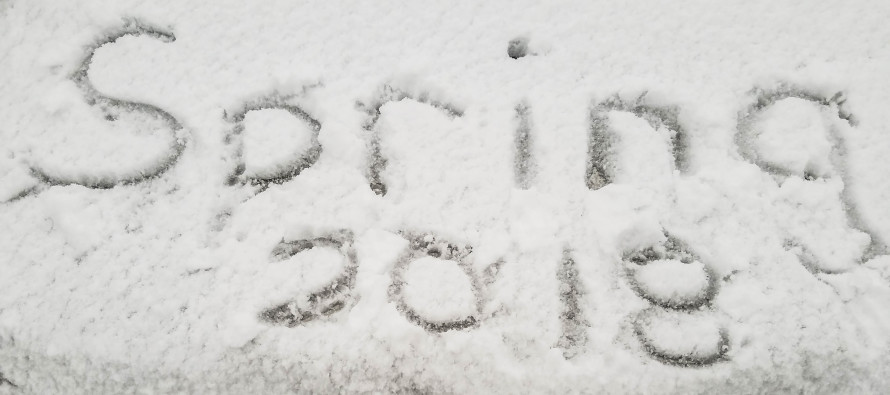
Chilly Conditions Expected (March 23-25)

Discussion: The overall upper-level trough behind our storm system will be moving out but not before the backside of it swings through New England from NW to SE. The bottom of this trough should influence New Jersey colder for the weekend. While it may seem mild in the sunshine during the day with temps in the 40s, overnight hours could still fall to near or below freezing. The good news is that we should stay mostly dry through the weekend. A disturbance will likely dive to our S and miss New Jersey on Sunday. This system could bring anything from rain to a wintry mix to areas SW of us but New Jersey should only see northern fringe clouds with little-to-no precipitation. Therefore Saturday looks like the nicer day of the weekend vs Sunday.
Friday (Mar 23) high temperatures should reach the low-to-mid 40s statewide. Skies should be partly sunny. Winds should be light-to-breezy out of the W/NW. Overnight lows should range from mid-20s to mid-30s NNJ to SNJ.
Saturday (Mar 24) high temperatures should reach the mid-40s statewide. Skies should be partly sunny. Winds should be light out of the NW. Overnight lows should range from mid-20s to lower-30s NNJ to SNJ.
Sunday (Mar 25) high temperatures should reach the low-to-mid 40s statewide. Skies should be partly-to-mostly cloudy (cloudier for SNJ than NNJ) with a super small chance of a sprinkle (moreso for SNJ than NNJ). There is no major snow storm expected on Sunday. Winds should be light out of the NE for most, perhaps a bit breezier for coastal areas. Overnight lows should range from mid-20s to mid-30s NNJ to SNJ.
An early look at next week indicates more of the same for Monday and Tuesday followed by a warm-up Wednesday-forward. I’m seeing highs in the 50s, maybe flirting with breaking 60, with mostly dry conditions before the weekend. Some late-week rain could happen but let’s revisit that in a few days. Everyone have a great weekend and please be safe! JC
For comprehensive and interactive hyper-local analysis that goes way above and beyond the detail of this public forecast, check out our premium services which include early hyper-local text notifications and guaranteed individual forum interaction. A must for outdoor businesses that depend on the best real-time data possible.
Photo Credit: Cheryl Kirby of Echoes of LBI
Jonathan Carr (JC) is the founder and sole operator of Weather NJ, New Jersey’s largest independent weather reporting agency. Since 2010, Jonathan has provided weather safety discussion and forecasting services for New Jersey and surrounding areas through the web and social media. Originally branded as Severe NJ Weather (before 2014), Weather NJ is proud to bring you accurate and responsible forecast discussion ahead of high-stakes weather scenarios that impact this great garden state of ours. All Weather. All New Jersey.™ Be safe! JC


