Great Weather on the Horizon
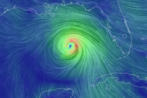
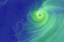
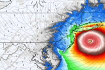
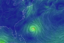
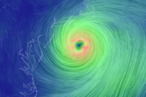
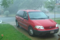
Discussion: Words cannot describe some of the imagery and hardship coming out of Louisiana after yesterday’s category 4 landfall. It hurts to think about. If I can help anyone in any way down there, please let me know. Out thoughts