More Cool and Unsettled Conditions
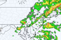
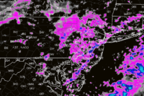
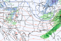
Discussion: The pattern from now through about April 12 looks very similar due to a stubborn jet pattern with an active stream of disturbances. This should force a trough pattern for the Northeast and Mid-Atlantic US keeping temperatures slightly below-average